
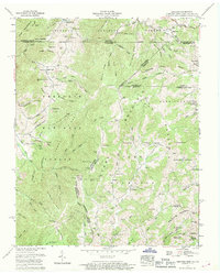
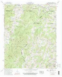
1959 Map of Grayson
USGS Topo · Published 1990About this map
Stone Mountain and Iron Mountain dominate this mid-century topographic portrait of the high country where Tennessee, Virginia, and North Carolina meet. Small mountain settlements like Taylors Valley, Grayson, and Whitetop are connected by a network of rural roads and the Norfolk and Western railroad, which follows the winding course of Green Cove Creek. The landscape is a patchwork of public lands within the Jefferson National Forest and Cherokee National Forest, showing a clear record of local life through its numerous family cemeteries and country churches, such as the Mountain View Church and Fairview Ch. Evidence of local industry and subsistence is visible in the scattered strip mines and landmarks like the Farmers Store. The intricate drainage patterns of the South Fork and Gentry Creek illustrate the challenging geography that defined travel and settlement in this Appalachian corridor during the late 1950s.
Find a feature on this map
126 named features on this map. Tap any name to fly to it.
Don’t see what you’re looking for? This feature index may not catch every label — zoom into the map to look around manually.
Map Details
Editions of this 1959 Grayson Map
3 editions found
Other maps of this area

1891 · Abingdon
USGS Topo · 1:125,000

1893 · Cranberry
USGS Topo · 1:125,000

1894 · Abingdon
USGS Topo · 1:125,000

1895 · Cranberry
USGS Topo · 1:125,000

1899 · Cranberry
USGS Topo · 1:125,000

1902 · Cranberry
USGS Topo · 1:125,000

1909 · Abingdon
USGS Topo · 1:96,000

1911 · Abingdon
USGS Topo · 1:125,000

1935 · Konnarock
USGS Topo · 1:24,000

1935 · Grayson
USGS Topo · 1:24,000