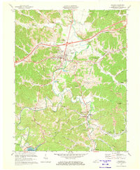
1971 Map of Grayson
USGS Topo · Published 1973About this map
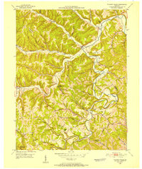
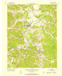
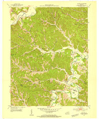
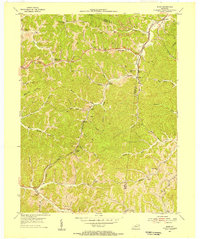
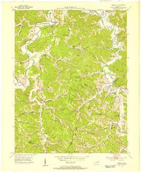
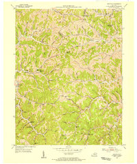
The Little Sandy River winds through the heart of Carter County, shaping a landscape defined by narrow valleys and industrial transition. In the early 1970s, the area surrounding Grayson serves as a regional hub, featuring Kentucky Christian College and the County High School. The southern portion of the map reveals a shift toward heavy industry and resource extraction, with numerous labels for a Strip Mine and a Quarry dotting the terrain near Hitchins and Mt Savage. A notable link to the region's industrial past is preserved at the Clay Furnace (Historical Ruin) near the Chesapeake and Ohio railroad line. Modern infrastructure is represented by the massive Grayson Dam and the emerging waters of Grayson Lake, marking a significant modification to the historical flow of the river system.
Find a feature on this map
69 named features on this map. Tap any name to fly to it.
Don’t see what you’re looking for? This feature index may not catch every label — zoom into the map to look around manually.
Map Details
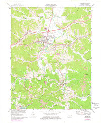
Editions of this 1971 Grayson Map
2 editions found
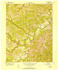
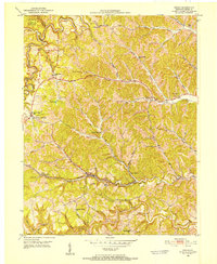
Other maps of this area

1903 · Kenova
USGS Topo · 1:125,000

1904 · Kenova
USGS Topo · 1:125,000
1950 · Bruin
USGS Topo · 1:24,000
1950 · Grahn
USGS Topo · 1:24,000
1950 · Tygarts Valley
USGS Topo · 1:24,000
1953 · Grayson
USGS Topo · 1:24,000
1953 · Oldtown
USGS Topo · 1:24,000
1953 · Rush
USGS Topo · 1:24,000
1953 · Argillite
USGS Topo · 1:24,000
1953 · Webbville
USGS Topo · 1:24,000