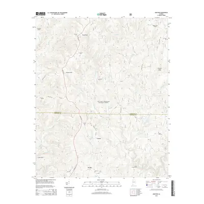
2014 Map of Grayson
USGS Topo · Published 2014About this map
William B. Bankhead National Forest covers the majority of this North Alabama landscape, where the deeply incised valleys of the Cumberland Plateau drain south toward the Sipsey Fork. The map documents a sparsely populated timber and forest region centered around the small settlements of Grayson and Ellaville, with Hepsidam situated further north along State Hwy 33. The terrain is characterized by steep ridges like McDougal Ridge and intricate drainage systems including the E Fork Beech Cr and W Fork Beech Cr.
Find a feature on this map
48 named features on this map. Tap any name to fly to it.
Don’t see what you’re looking for? This feature index may not catch every label — zoom into the map to look around manually.
Map Details
Editions of this 2014 Grayson Map
This is the sole edition of this map. No revisions or reprints were ever made.
Other maps of this area
1935 · Moulton
USGS Topo · 1:24,000
1935 · Upshaw
USGS Topo · 1:24,000
1935 · Danville
USGS Topo · 1:48,000
1935 · Oakville
USGS Topo · 1:24,000
1936 · Moulton
USGS Topo · 1:48,000
1936 · Landersville
USGS Topo · 1:24,000
1938 · Danville
USGS Topo · 1:62,500
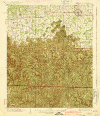
1940 · Mt Hope
USGS Topo · 1:62,500
1956 · Gadsden
USGS Topo · 1:250,000
1958 · Gadsden
USGS Topo · 1:250,000