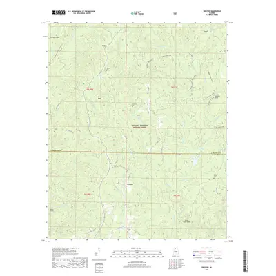
2018 Map of Grayson
USGS Topo · Published 2018About this map
Grayson sits at the heart of this landscape in the southern reaches of the William B. Bankhead National Forest, straddling the border of Lawrence and Winston counties. The terrain is defined by a dense network of drainages and ridges, including McDougal Ridge and the significant Tennessee Valley Divide. This area preserves several family-named burial grounds like McLemore Cem and Tapsville Cem, which are essential for genealogical research in this part of Alabama. Deep incisions in the landscape, such as Flannagin Canyon and Indian Tomb Hollow, suggest the complex topography that dictated early travel and settlement patterns. Water resources are plentiful, ranging from the Brushy Cr Lake and Grayson Lake to the meandering Sipsey Fork at the southern edge.
Find a feature on this map
54 named features on this map. Tap any name to fly to it.
Don’t see what you’re looking for? This feature index may not catch every label — zoom into the map to look around manually.
Map Details
Editions of this 2018 Grayson Map
This is the sole edition of this map. No revisions or reprints were ever made.
Other maps of this area
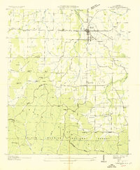
1935 · Moulton
USGS Topo · 1:24,000
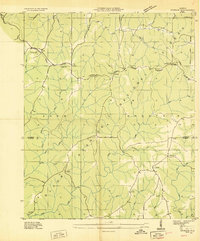
1935 · Upshaw
USGS Topo · 1:24,000
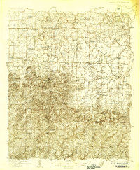
1935 · Danville
USGS Topo · 1:48,000
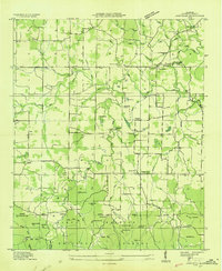
1935 · Oakville
USGS Topo · 1:24,000
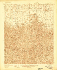
1936 · Moulton
USGS Topo · 1:48,000
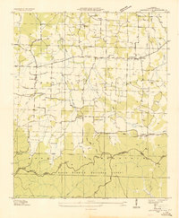
1936 · Landersville
USGS Topo · 1:24,000
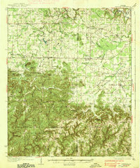
1938 · Danville
USGS Topo · 1:62,500
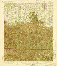
1940 · Mt Hope
USGS Topo · 1:62,500
1956 · Gadsden
USGS Topo · 1:250,000
1958 · Gadsden
USGS Topo · 1:250,000