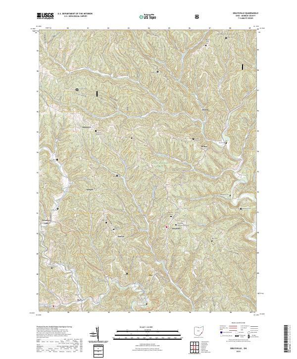
2023 Map of Graysville
USGS Topo · Published 2023About this map
The hills and ridges of Monroe County characterize this 2023 survey, dominated by the heavily wooded terrain of the Wayne National Forest. The landscape is a network of ridges such as Clover Ridge and Barber Ridge separated by deep hollows and forks of the Clear Fork Little Muskingum River. This modern cartographic record highlights the enduring rural settlement patterns of the region, where small communities like Graysville and Sycamore Valley serve as anchors among a high concentration of family and community burial grounds. Local history researchers will find dozens of these sites, including Hines Chapel Cem and Knowlton Cem, many situated on the high ground of ridges. Outdoor recreation is represented by the path of the North Country National Scenic Trl and the Lamping Homestead Trl, which wind through the township boundaries of t5n r6w and t4n r6w.
Find a feature on this map
81 named features on this map. Tap any name to fly to it.
Don’t see what you’re looking for? This feature index may not catch every label — zoom into the map to look around manually.
Map Details
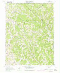
Editions of this 2023 Graysville Map
This is the sole edition of this map. No revisions or reprints were ever made.
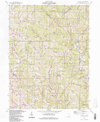
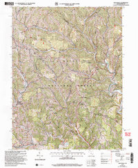
Historical Maps of Hilltop Through Time
4 maps found
Featured Locations
- Perry Township, OH
- Summit Township, OH
- Washington Township, OH
- Wayne Township, OH
- Graysville, Washington Township