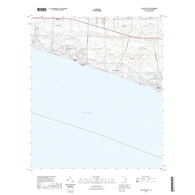
2021 Map of Grayton Beach
USGS Topo · Published 2021About this map
Santa Rosa Beach and the neighboring coastal communities of Blue Mountain Beach and Grayton Beach are documented here along the Florida Panhandle's emerald coastline. This modern topography illustrates the intricate network of rare coastal dune lakes, including Oyster Lake, Big Redfish Lake, and Alligator Lake, which sit just inland from the Gulf of Mexico. These lakes are a distinctive geological feature of this region, periodically breaching the dunes to exchange water with the sea.
Find a feature on this map
72 named features on this map. Tap any name to fly to it.
Don’t see what you’re looking for? This feature index may not catch every label — zoom into the map to look around manually.
Map Details
Editions of this 2021 Grayton Beach Map
This is the sole edition of this map. No revisions or reprints were ever made.
Other maps of this area

1935 · Villa Tasso
USGS Topo · 1:48,000

1936 · Point Washington
USGS Topo · 1:48,000

1938 · Villa Tasso
USGS Topo · 1:62,500

1939 · Point Washington
USGS Topo · 1:62,500

1956 · Villa Tasso
USGS Topo · 1:62,500

1957 · Pensacola
USGS Topo · 1:250,000

1959 · Pensacola
USGS Topo · 1:250,000

1960 · Pensacola
USGS Topo · 1:250,000
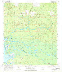
1970 · Bunker
USGS Topo · 1:24,000
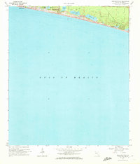
1970 · Miramar Beach
USGS Topo · 1:24,000