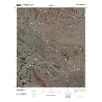
2010 Map of Grayton Lake
USGS Topo · Published 2010About this map
Eagle Flat anchors this high-desert landscape in Hudspeth County, characterized by a complex network of water tanks and ranch camps that supported livestock in an arid environment. The map details an extensive system of unpaved ranch roads, including Streetcar Rd and Green Gap Rd, which connect remote outposts like Streetcar Camp and Jack Jolly Camp. The presence of numerous named water sources, such as Malo Suerte Tank, Wiggleton Tank, and Lomita Tank, indicates the critical role of water management for local operations like the Isbell Ranch. Topographical features such as Grayton Lake, the drainage of Blanca Draw, and the prominent Love Hogback provide a clear view of the natural drainage patterns and landforms that defined navigation and land use in this part of Far West Texas during the early 21st century.
Find a feature on this map
24 named features on this map. Tap any name to fly to it.
Don’t see what you’re looking for? This feature index may not catch every label — zoom into the map to look around manually.
Map Details
Editions of this 2010 Grayton Lake Map
This is the sole edition of this map. No revisions or reprints were ever made.
Other maps of this area

1895 · Sierra Blanca
USGS Topo · 1:125,000

1897 · Eagle Mountain
USGS Topo · 1:125,000

1916 · Eagle Mountain
USGS Topo · 1:125,000

1954 · Van Horn
USGS Topo · 1:250,000

1958 · Van Horn
USGS Topo · 1:250,000

1959 · Marfa
USGS Topo · 1:250,000
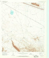
1963 · Grayton Lake
USGS Topo · 1:24,000

1964 · Devil Ridge
USGS Topo · 1:24,000
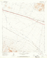
1964 · Allamoore
USGS Topo · 1:24,000

1964 · Dome Peak
USGS Topo · 1:24,000