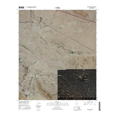
2016 Map of Grayton Lake
USGS Topo · Published 2016About this map
Eagle Flat anchors this high-desert landscape in Hudspeth County, where a sparse network of roads and water tanks reveals the infrastructure of West Texas ranching. The terrain is defined by the prominent Love Hogback and the Red Hills to the south, while the ephemeral basin of Grayton Lake sits north near Blanca Draw. This 2016 survey illustrates the critical role of water management in a dry climate, naming numerous catchment points such as Malo Suerte Tank, Hackett Tank, and Triple Tanks. Transportation through this isolated corridor relies on routes like Green Gap Rd and Box Car Rd, which provide access between the various hills and seasonal draws that characterize this portion of the Trans-Pecos region.
Find a feature on this map
23 named features on this map. Tap any name to fly to it.
Don’t see what you’re looking for? This feature index may not catch every label — zoom into the map to look around manually.
Map Details
Editions of this 2016 Grayton Lake Map
This is the sole edition of this map. No revisions or reprints were ever made.
Other maps of this area
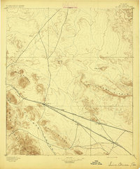
1895 · Sierra Blanca
USGS Topo · 1:125,000
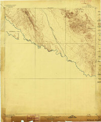
1897 · Eagle Mountain
USGS Topo · 1:125,000
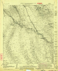
1916 · Eagle Mountain
USGS Topo · 1:125,000
1954 · Van Horn
USGS Topo · 1:250,000
1958 · Van Horn
USGS Topo · 1:250,000
1959 · Marfa
USGS Topo · 1:250,000
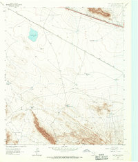
1963 · Grayton Lake
USGS Topo · 1:24,000
1964 · Devil Ridge
USGS Topo · 1:24,000
1964 · Allamoore
USGS Topo · 1:24,000
1964 · Dome Peak
USGS Topo · 1:24,000