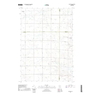
2018 Map of Graytown
USGS Topo · Published 2018About this map
Clear Lake sits at the northwestern edge of this landscape, where the agricultural grid of Western Wisconsin meets a network of small waterways. The terrain is defined by the convergence of four counties—Polk, Barron, St. Croix, and Dunn—creating a unique jurisdictional junction. Historically significant smaller settlements like Reeve and Graytown are positioned near the eastern and central-eastern borders, serving as local hubs for the surrounding farmstead network.
Find a feature on this map
51 named features on this map. Tap any name to fly to it.
Don’t see what you’re looking for? This feature index may not catch every label — zoom into the map to look around manually.
Map Details
Editions of this 2018 Graytown Map
This is the sole edition of this map. No revisions or reprints were ever made.
Other maps of this area

1948 · Downing
USGS Topo · 1:62,500

1950 · Downing
USGS Topo · 1:62,500

1950 · Deer Park
USGS Topo · 1:62,500

1950 · Balsam Lake
USGS Topo · 1:62,500

1950 · Turtle Lake
USGS Topo · 1:62,500

1952 · Turtle Lake
USGS Topo · 1:62,500

1953 · Stillwater
USGS Topo · 1:250,000

1955 · Stillwater
USGS Topo · 1:250,000

1958 · Stillwater
USGS Topo · 1:250,000

1965 · Stillwater
USGS Topo · 1:250,000