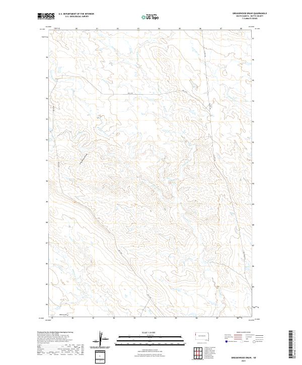
2021 Map of Greasewood Draw
USGS Topo · Published 2021About this map
Greasewood Draw and Watson Draw characterize this section of Butte County, where a complex network of intermittent drainage channels carves through the high plains of South Dakota. The drainage pattern is remarkably dense, featuring descriptive local names like Bean Blossom Cr, Frog Cr, and Frozen Horse Cr. These waterways, along with N Indian Cr and Porcupine Cr, illustrate the subtle but pervasive erosion that defines this arid landscape.
Find a feature on this map
17 named features on this map. Tap any name to fly to it.
Don’t see what you’re looking for? This feature index may not catch every label — zoom into the map to look around manually.
Map Details
Editions of this 2021 Greasewood Draw Map
This is the sole edition of this map. No revisions or reprints were ever made.
Other maps of this area

1901 · Aladdin
USGS Topo · 1:125,000

1903 · Aladdin
USGS Topo · 1:125,000

1905 · Indian
USGS Topo · 1:62,500

1907 · Belle Fourche
USGS Topo · 1:125,000

1935 · Harding
USGS Topo · 1:125,000

1953 · Rapid City
USGS Topo · 1:250,000

1954 · Lemmon
USGS Topo · 1:250,000

1954 · Ekalaka
USGS Topo · 1:250,000

1954 · Gillette
USGS Topo · 1:250,000

1955 · Gillette
USGS Topo · 1:250,000