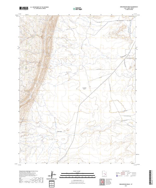
2023 Map of Greasewood Draw
USGS Topo · Published 2023About this map
The San Rafael Reef forms a dramatic eastern edge to the San Rafael Swell on this map of Emery County, Utah. The landscape is defined by its arid hydrology and complex topography, transitioning from the higher elevations of the swell into the San Rafael Desert and San Rafael Valley. Watercourses such as Greasewood Draw and Straight Wash carve through the terrain, leading toward Greasewood Bottoms in the northeast below Shadscale Mesa.
Find a feature on this map
17 named features on this map. Tap any name to fly to it.
Don’t see what you’re looking for? This feature index may not catch every label — zoom into the map to look around manually.
Map Details
Editions of this 2023 Greasewood Draw Map
This is the sole edition of this map. No revisions or reprints were ever made.
Other maps of this area

1885 · San Rafael
USGS Topo · 1:250,000

1953 · Tidwell 2 SW
USGS Topo · 1:24,000

1953 · Tidwell 3 NW
USGS Topo · 1:24,000

1953 · Tidwell 2 NW
USGS Topo · 1:24,000

1953 · Temple Mtn
USGS Topo · 1:62,500

1954 · Stinking Spring Creek 1 SE
USGS Topo · 1:24,000

1954 · Stinking Spring Creek 4 NE
USGS Topo · 1:24,000

1954 · Stinking Spring Creek 1 NE
USGS Topo · 1:24,000

1954 · Tidwell 2 SE
USGS Topo · 1:24,000

1954 · Tidwell 2 NE
USGS Topo · 1:24,000