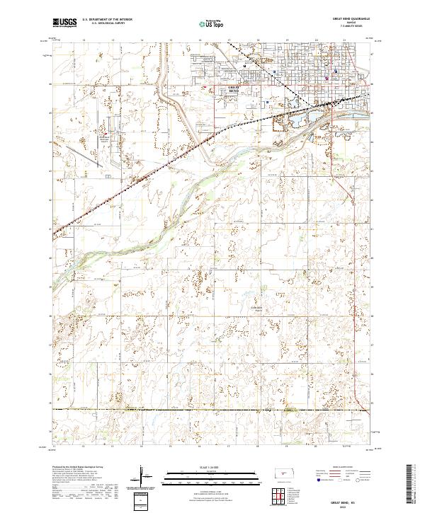
2022 Map of Great Bend
USGS Topo · Published 2022About this map
Great Bend serves as the central hub of this Kansas landscape, positioned where the Arkansas River makes its prominent southern turn. The city grid is clearly defined, anchored by the Barton County Courthouse and extending through residential streets such as Lakin Ave and Forest Ave. To the west, the Great Bend Municipal Airport marks a significant industrial footprint, while the Great Bend Cem sits on the northern edge of the primary settlement.
Find a feature on this map
64 named features on this map. Tap any name to fly to it.
Don’t see what you’re looking for? This feature index may not catch every label — zoom into the map to look around manually.
Map Details
Editions of this 2022 Great Bend Map
This is the sole edition of this map. No revisions or reprints were ever made.
Other maps of this area

1891 · Great Bend
USGS Topo · 1:125,000

1893 · Great Bend
USGS Topo · 1:125,000

1955 · Great Bend
USGS Topo · 1:250,000

1956 · Ellinwood NW
USGS Topo · 1:24,000

1957 · Great Bend
USGS Topo · 1:250,000

1957 · Ellinwood SW
USGS Topo · 1:24,000

1958 · Great Bend
USGS Topo · 1:250,000

1958 · Great Bend
USGS Topo · 1:24,000

1959 · Great Bend NE
USGS Topo · 1:24,000

1960 · Pawnee Rock
USGS Topo · 1:24,000