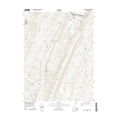
2014 Map of Great Cacapon
USGS Topo · Published 2014About this map
Great Cacapon sits at the northern edge of this West Virginia study, where the Cacapon River winds its final miles toward a confluence with the Potomac River. The terrain is defined by a series of prominent north-south ridges, including Tonoloway Ridge, Cacapon Mtn, and Warm Springs Ridge, which channel local movement through narrow passages like Long Hollow and Rocky Hollow. This landscape of ridges and river bends is marked by historical crossings such as Harland Ford, Ziler Ford, and Fisher Ford, highlighting the importance of the river as both a barrier and a thoroughfare in Morgan County.
Find a feature on this map
127 named features on this map. Tap any name to fly to it.
Don’t see what you’re looking for? This feature index may not catch every label — zoom into the map to look around manually.
Map Details
Editions of this 2014 Great Cacapon Map
This is the sole edition of this map. No revisions or reprints were ever made.
Other maps of this area

1894 · Winchester
USGS Topo · 1:125,000

1898 · Paw Paw
USGS Topo · 1:62,500

1899 · Hancock
USGS Topo · 1:62,500

1900 · Pawpaw
USGS Topo · 1:62,500

1901 · Hancock
USGS Topo · 1:62,500

1910 · Paw Paw
USGS Topo · 1:62,500

1914 · Gerrardstown
USGS Topo · 1:48,000

1916 · Gerrardstown
USGS Topo · 1:62,500

1916 · Capon Bridge
USGS Topo · 1:62,500

1923 · Capon Bridge
USGS Topo · 1:62,500