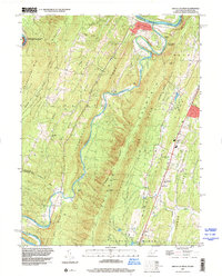
1996 Map of Great Cacapon
USGS Topo · Published 2001About this map
The confluence of the Cacapon River and the Potomac River anchors this landscape, where the settlement of Great Cacapon sits at the northern end of a series of dramatic north-south ridges. Parallel peaks including Sideling Hill, Cacapon Mountain, and Warm Spring Ridge create a corrugated terrain that forced human settlement into narrow valleys and gap crossings. This topography is most evident at Rock Gap, where a cluster of community landmarks like Mt Garfield Sch and Mt Tabor Ch are situated.
Find a feature on this map
53 named features on this map. Tap any name to fly to it.
Don’t see what you’re looking for? This feature index may not catch every label — zoom into the map to look around manually.
Map Details
Editions of this 1996 Great Cacapon Map
This is the sole edition of this map. No revisions or reprints were ever made.
Other maps of this area

1894 · Winchester
USGS Topo · 1:125,000

1898 · Paw Paw
USGS Topo · 1:62,500

1899 · Hancock
USGS Topo · 1:62,500

1900 · Pawpaw
USGS Topo · 1:62,500

1901 · Hancock
USGS Topo · 1:62,500

1910 · Paw Paw
USGS Topo · 1:62,500

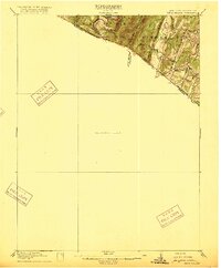
1914 · Gerrardstown
USGS Topo · 1:48,000

1916 · Gerrardstown
USGS Topo · 1:62,500
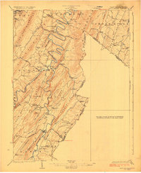
1916 · Capon Bridge
USGS Topo · 1:62,500
1923 · Capon Bridge
USGS Topo · 1:62,500