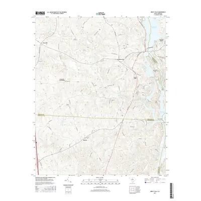
2017 Map of Great Falls
USGS Topo · Published 2017About this map
The Catawba River defines the eastern edge of this landscape, where the Fishing Creek Reservoir and Great Falls Reservoir channel the water through a series of islands including Mountain Island, Hill Island, and Big Island. This river-driven geography is the backdrop for the industrial and residential development of Great Falls, which sits at the center of a complex network of roads like Ridgeway Rd and Georgetown Rd. To the west, the terrain is shaped by numerous tributaries such as Rocky Creek, Turkey Br, and Beaverdam Cr that feed into the larger basins.
Find a feature on this map
84 named features on this map. Tap any name to fly to it.
Don’t see what you’re looking for? This feature index may not catch every label — zoom into the map to look around manually.
Map Details
Editions of this 2017 Great Falls Map
This is the sole edition of this map. No revisions or reprints were ever made.
Other maps of this area

1904 · Columbia
USGS Topo · 1:125,000

1941 · Spartanburg
USGS Topo · 1:250,000

1942 · Camden
USGS Topo · 1:125,000

1953 · Spartanburg
USGS Topo · 1:250,000

1960 · Spartanburg
USGS Topo · 1:250,000

1963 · Spartanburg
USGS Topo · 1:250,000

1964 · Spartanburg
USGS Topo · 1:250,000

1968 · Lancaster SE
USGS Topo · 1:24,000
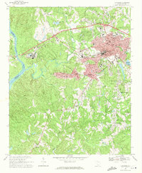
1969 · Lancaster
USGS Topo · 1:24,000
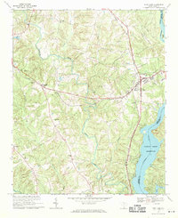
1969 · Fort Lawn
USGS Topo · 1:24,000