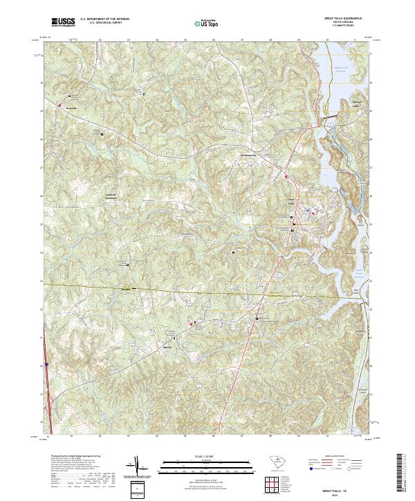
2024 Map of Great Falls
USGS Topo · Published 2024About this map
Great Falls serves as the focal point for this landscape, where the Catawba River defines the boundary between Chester, Fairfield, and Lancaster Counties. The map reveals a transition from the industrial and residential core of the town to the surrounding rural crossroads of Beckhamville, Mitford, and Rossville. The river's path is marked by substantial water bodies including Fishing Creek Reservoir and the northern reaches of Wateree Lake, which are punctuated by a series of significant landforms like Mountain Island, Hill Island, and McDowell Island.
Find a feature on this map
112 named features on this map. Tap any name to fly to it.
Don’t see what you’re looking for? This feature index may not catch every label — zoom into the map to look around manually.
Map Details
Editions of this 2024 Great Falls Map
This is the sole edition of this map. No revisions or reprints were ever made.
Other maps of this area

1904 · Columbia
USGS Topo · 1:125,000

1941 · Spartanburg
USGS Topo · 1:250,000

1942 · Camden
USGS Topo · 1:125,000

1953 · Spartanburg
USGS Topo · 1:250,000

1960 · Spartanburg
USGS Topo · 1:250,000

1963 · Spartanburg
USGS Topo · 1:250,000

1964 · Spartanburg
USGS Topo · 1:250,000

1968 · Lancaster SE
USGS Topo · 1:24,000
1969 · Lancaster
USGS Topo · 1:24,000
1969 · Fort Lawn
USGS Topo · 1:24,000