
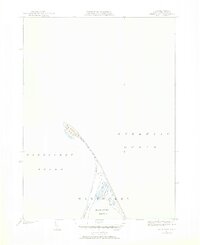
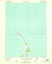
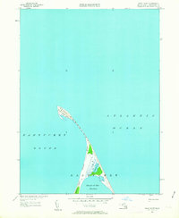
1951 Map of Great Point
USGS Topo · Published 1951About this map
Nantucket Island reaches its northernmost extent in this 1951 revision, showcasing the narrow, shifting barrier landscape where Nantucket Sound meets the Atlantic Ocean. The map centers on the elongated spit of Great Point and the complex shoreline of Coatue Point, which shelters the Head of the Harbor. The presence of Coskata Pond tucked behind Coskata Beach illustrates the fragile coastal geomorphology of the mid-century period before decades of Atlantic storm surges and erosion further reshaped these sandbars.
Find a feature on this map
8 named features on this map. Tap any name to fly to it.
Don’t see what you’re looking for? This feature index may not catch every label — zoom into the map to look around manually.
Map Details
Editions of this 1951 Great Point Map
4 editions found
Other maps of this area

1889 · Nantucket
USGS Topo · 1:62,500

1893 · Nantucket
USGS Topo · 1:62,500

1901 · Nantucket
USGS Topo · 1:62,500

1942 · Nantucket
USGS Topo · 1:125,000

1945 · Nantucket
USGS Topo · 1:31,680

1945 · Siasconset
USGS Topo · 1:31,680

1945 · Great Point
USGS Topo · 1:31,680

1947 · Providence
USGS Topo · 1:250,000

1948 · Providence
USGS Topo · 1:250,000
1951 · Siasconset
USGS Topo · 1:31,680