
1972 Map of Great Point
USGS Topo · Published 1978About this map
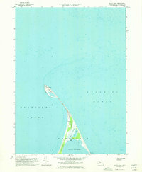
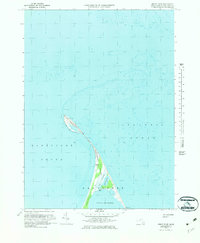
Nantucket Island stretches into the sea at its northernmost reaches on this 1972 survey, centered on the thin, wave-sculpted barrier of Great Point. A prominent Lighthouse stands at the tip, marking the critical junction between Nantucket Sound and the open Atlantic Ocean. The landscape is defined by the shifting sands of The Galls and the intricate wetlands around Coskata Pond. This chart captures the area's geography following updates from 1969 and 1970 aerial photography, documenting the fragile connections between the main island and landforms like Coatue and The Glades. Human presence is minimal, limited to the small settlements of Coskata and Wauwinet and a network of Jeep Trails that navigate the coastal terrain near Head of the Harbor. The detailed hydrographic data includes soundings and the vast Tidal Flat areas that characterize this dynamic maritime environment.
Find a feature on this map
15 named features on this map. Tap any name to fly to it.
Don’t see what you’re looking for? This feature index may not catch every label — zoom into the map to look around manually.
Map Details
Editions of this 1972 Great Point Map
3 editions found
Other maps of this area

1889 · Nantucket
USGS Topo · 1:62,500

1893 · Nantucket
USGS Topo · 1:62,500

1901 · Nantucket
USGS Topo · 1:62,500

1942 · Nantucket
USGS Topo · 1:125,000

1945 · Nantucket
USGS Topo · 1:31,680

1945 · Siasconset
USGS Topo · 1:31,680

1945 · Great Point
USGS Topo · 1:31,680

1947 · Providence
USGS Topo · 1:250,000

1948 · Providence
USGS Topo · 1:250,000

1951 · Great Point
USGS Topo · 1:31,680