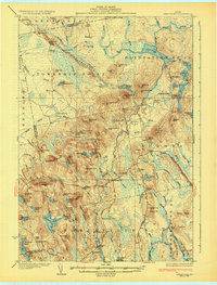
1932 Map of Great Pond
USGS Topo · Published 1932About this map
Amherst and the rural communities of Hancock County are shown here during the late 1920s, a landscape defined by small wood-frame schoolhouses and the early industrial footprint of the timber industry. The East Great Works Mill near Trout Pond and the Ledge Falls Dam on the Union River illustrate how local waterways powered the economy. Settlement is concentrated along the State Highway and the Airline Road, where family-named landmarks like Archer's Corners and rural post offices such as Great Pond P O served as local hubs.
Find a feature on this map
124 named features on this map. Tap any name to fly to it.
Don’t see what you’re looking for? This feature index may not catch every label — zoom into the map to look around manually.
Map Details
Editions of this 1932 Great Pond Map
4 editions found

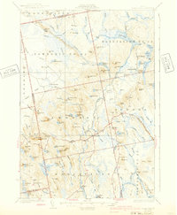
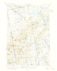
Other maps of this area

1900 · Orland
USGS Topo · 1:62,500

1902 · Orono
USGS Topo · 1:62,500

1911 · Ellsworth
USGS Topo · 1:62,500

1917 · Passadumkeag
USGS Topo · 1:62,500

1929 · Great Pond
USGS Topo · 1:48,000

1929 · Lead Mountain
USGS Topo · 1:48,000

1930 · Tunk Lake
USGS Topo · 1:48,000

1931 · Saponac
USGS Topo · 1:48,000

1932 · Tunk Lake
USGS Topo · 1:62,500

1932 · Nicatous Lake
USGS Topo · 1:48,000