
1932 Map of Great Pond
USGS Topo · Published 1932About this map
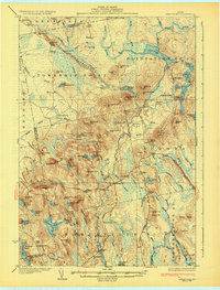
Amherst and Aurora anchor this detailed study of the Maine interior, situated along the historic corridor that includes the Airline Road. The landscape is defined by its complex hydrology and glacial features, notably the prominent ridge known as Horseback which runs alongside Sunkhaze Stream. This area, encompassing parts of Hancock Co and Penobscot Co, reveals a 1930s pattern of rural life centered around local hubs like North Mariaville and Archers Corners. The distribution of timber and water resources is evident through numerous camps such as Bragg Camp and BP Camp, while the educational infrastructure of the period is meticulously documented through remote locations like the Monticello Sch and Longfellow Sch. Large water bodies including Great Pond, Graham Lake, and Long Pond suggest a region shaped by both its natural drainage and its importance to local industry and transport.
Find a feature on this map
66 named features on this map. Tap any name to fly to it.
Don’t see what you’re looking for? This feature index may not catch every label — zoom into the map to look around manually.
Map Details
Editions of this 1932 Great Pond Map
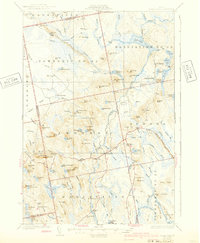
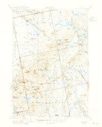
4 editions found
Other maps of this area

1900 · Orland
USGS Topo · 1:62,500

1902 · Orono
USGS Topo · 1:62,500

1911 · Ellsworth
USGS Topo · 1:62,500

1917 · Passadumkeag
USGS Topo · 1:62,500

1929 · Great Pond
USGS Topo · 1:48,000

1929 · Lead Mountain
USGS Topo · 1:48,000

1930 · Tunk Lake
USGS Topo · 1:48,000

1931 · Saponac
USGS Topo · 1:48,000

1932 · Tunk Lake
USGS Topo · 1:62,500

1932 · Nicatous Lake
USGS Topo · 1:48,000