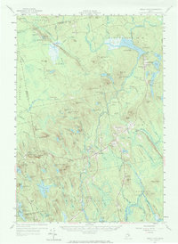
1957 Map of Great Pond
USGS Topo · Published 1972About this map
Penobscot and Hancock county lines bisect this mid-century landscape of glacial landforms and remote training grounds. The terrain is defined by striking features like The Horseback, a classic esker ridge running toward the U S Air Force Survival Training Camp. This military presence is further noted by an Abandoned Landing Strip near Crocker Pond.
Find a feature on this map
140 named features on this map. Tap any name to fly to it.
Don’t see what you’re looking for? This feature index may not catch every label — zoom into the map to look around manually.
Map Details
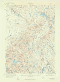
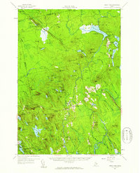
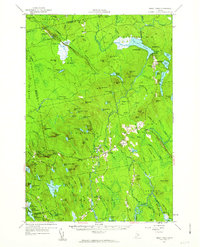
Editions of this 1957 Great Pond Map
4 editions found
Other maps of this area

1900 · Orland
USGS Topo · 1:62,500

1902 · Orono
USGS Topo · 1:62,500

1911 · Ellsworth
USGS Topo · 1:62,500

1917 · Passadumkeag
USGS Topo · 1:62,500

1929 · Great Pond
USGS Topo · 1:48,000

1929 · Lead Mountain
USGS Topo · 1:48,000

1930 · Tunk Lake
USGS Topo · 1:48,000

1931 · Saponac
USGS Topo · 1:48,000

1932 · Tunk Lake
USGS Topo · 1:62,500

1932 · Nicatous Lake
USGS Topo · 1:48,000