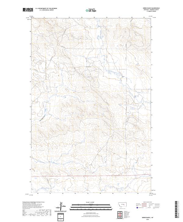
2024 Map of Grebe Ranch
USGS Topo · Published 2024About this map
Rattlesnake Creek and Home Creek define the drainage patterns of this Rosebud County landscape, cutting through the high plains of eastern Montana. The map reveals an area deeply shaped by the energy industry and rural transport, with an extensive network of thoroughfares including Oil Well Rd, Oil Field Rd, and Oilfield Rd that service the local petroleum infrastructure. Land ownership and historic ranching routes are reflected in the naming of roads such as Kincheloe Rd, CM Coffee, and Shorty's Rd. The terrain is marked by distinctive geological depressions like East Keggy Coulee and Orchard Coulee, which channel seasonal water toward the larger creek beds. This modern survey provides a detailed view of the Public Land Survey System divisions, clearly marking the boundaries of townships like t11n r32e and t12n r33e.
Find a feature on this map
17 named features on this map. Tap any name to fly to it.
Don’t see what you’re looking for? This feature index may not catch every label — zoom into the map to look around manually.
Map Details
Editions of this 2024 Grebe Ranch Map
This is the sole edition of this map. No revisions or reprints were ever made.
Other maps of this area

1954 · Forsyth
USGS Topo · 1:250,000

1957 · Forsyth
USGS Topo · 1:250,000

1958 · Forsyth
USGS Topo · 1:250,000

1962 · Guthridge Ranch
USGS Topo · 1:24,000

1962 · Melstone NE
USGS Topo · 1:24,000

1962 · Sumatra
USGS Topo · 1:24,000

1962 · Kincheloe Ranch
USGS Topo · 1:24,000

1962 · Mosby SE
USGS Topo · 1:24,000

1962 · Grebe Ranch
USGS Topo · 1:24,000

1963 · Hecker Ranch
USGS Topo · 1:24,000