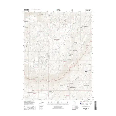
2015 Map of Greek Store
USGS Topo · Published 2015About this map
Last Chance and Greek Store sit high within the Sierra Nevada backcountry, marking old outposts in a landscape defined by deep drainages and sharp ridges. This area of the Tahoe National Forest and Eldorado National Forest is deeply incised by the Middle Fork American River, where features like China Bar and Big Bar speak to the region's river-bottom history. The terrain is a complex network of ravines and gulches, including Abrams Ravine and Bloody Ravine, which drain into larger systems like Duncan Canyon.
Find a feature on this map
76 named features on this map. Tap any name to fly to it.
Don’t see what you’re looking for? This feature index may not catch every label — zoom into the map to look around manually.
Map Details
Editions of this 2015 Greek Store Map
This is the sole edition of this map. No revisions or reprints were ever made.
Other maps of this area

1889 · Pyramid Peak
USGS Topo · 1:125,000

1891 · Colfax
USGS Topo · 1:125,000

1891 · Truckee
USGS Topo · 1:125,000

1891 · Placerville
USGS Topo · 1:125,000

1891 · Pyramid Peak
USGS Topo · 1:125,000

1892 · Placerville
USGS Topo · 1:125,000

1892 · Colfax
USGS Topo · 1:125,000

1893 · Placerville
USGS Topo · 1:125,000

1893 · Truckee
USGS Topo · 1:125,000

1894 · Colfax
USGS Topo · 1:125,000