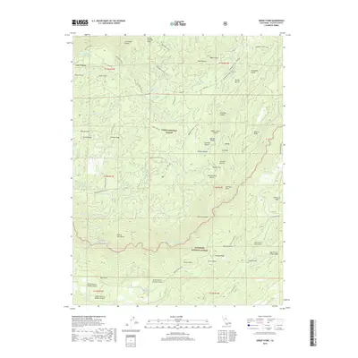
2018 Map of Greek Store
USGS Topo · Published 2018About this map
Last Chance and the curiously named End of the World mark the high country of the Sierra Nevada where the Tahoe National Forest meets the Eldorado National Forest. This landscape is defined by the deep incisions of the Middle Fork American River and the N Fork of Middle Fork American River, where historic hydraulic mining infrastructure remains visible through features like Trap Line Ditch, Red Star Ditch, and Pine Nut Ditch. These ditches once diverted water across steep ridges such as Barney Cavanah Ridge and Peavine Ridge to support gold operations. The riverbanks are dotted with named flats and bars, including China Bar, Big Bar, and Butcher Flat, while the Western States trail traverses the northern reaches. The complex topography includes numerous named ravines like Spanish Ravine and Jamison Ravine, illustrating the intensity of land use during the region's resource-extraction era.
Find a feature on this map
73 named features on this map. Tap any name to fly to it.
Don’t see what you’re looking for? This feature index may not catch every label — zoom into the map to look around manually.
Map Details
Editions of this 2018 Greek Store Map
This is the sole edition of this map. No revisions or reprints were ever made.
Other maps of this area

1889 · Pyramid Peak
USGS Topo · 1:125,000

1891 · Colfax
USGS Topo · 1:125,000

1891 · Truckee
USGS Topo · 1:125,000

1891 · Placerville
USGS Topo · 1:125,000

1891 · Pyramid Peak
USGS Topo · 1:125,000

1892 · Placerville
USGS Topo · 1:125,000

1892 · Colfax
USGS Topo · 1:125,000

1893 · Placerville
USGS Topo · 1:125,000

1893 · Truckee
USGS Topo · 1:125,000

1894 · Colfax
USGS Topo · 1:125,000