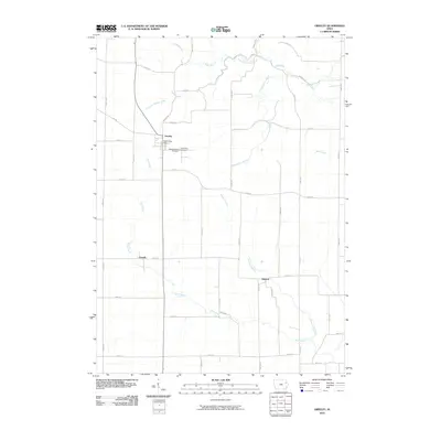
2010 Map of Greeley
USGS Topo · Published 2010About this map
Greeley anchors this agricultural landscape in Delaware County, serving as a central hub for the surrounding rural communities of Oneida and Almoral. The town center is marked by the Greeley Post Office and sits just north of the dual grounds of Saint Joseph's Cemetery and Grant View Cemetery. This portion of Iowa is defined by a dense network of drainages that feed into larger systems, including Plum Creek, which meanders through the southern and western reaches, and Fountain Springs Creek to the north.
Find a feature on this map
42 named features on this map. Tap any name to fly to it.
Don’t see what you’re looking for? This feature index may not catch every label — zoom into the map to look around manually.
Map Details
Editions of this 2010 Greeley Map
This is the sole edition of this map. No revisions or reprints were ever made.
Other maps of this area

1900 · Anamosa
USGS Topo · 1:125,000

1902 · Elkader
USGS Topo · 1:125,000

1957 · Colesburg
USGS Topo · 1:24,000

1959 · Dubuque
USGS Topo · 1:250,000

1961 · Dubuque
USGS Topo · 1:250,000

1962 · Dubuque
USGS Topo · 1:250,000

1962 · Petersburg
USGS Topo · 1:24,000

1964 · Edgewood
USGS Topo · 1:24,000

1964 · Garber
USGS Topo · 1:24,000

1965 · Thorpe
USGS Topo · 1:24,000