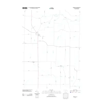
2013 Map of Greeley
USGS Topo · Published 2013About this map
Greeley anchors this rural Delaware County landscape, situated along a north-south transportation corridor that connects the heart of the community to southern reaches near Oneida. The map illustrates a highly organized agricultural grid defined by numbered avenues and streets, yet the topography is consistently shaped by an intricate network of waterways. Significant drainages like Plum Creek and Fountain Springs Creek meander across the township, feeding into smaller named tributaries such as Schechtman Branch and Almoral Branch. The local importance of freshwater sources is evidenced by the naming of Fountain Mill Spring near the center of the sheet. Further east, the settlement of Almoral sits positioned among the rolling drainage basins of Bear Creek and Elk Creek, documenting the persistent pattern of small-town Iowa development centered around water and road access.
Find a feature on this map
49 named features on this map. Tap any name to fly to it.
Don’t see what you’re looking for? This feature index may not catch every label — zoom into the map to look around manually.
Map Details
Editions of this 2013 Greeley Map
This is the sole edition of this map. No revisions or reprints were ever made.
Other maps of this area
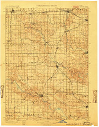
1900 · Anamosa
USGS Topo · 1:125,000
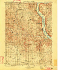
1902 · Elkader
USGS Topo · 1:125,000
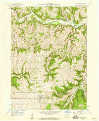
1957 · Colesburg
USGS Topo · 1:24,000
1959 · Dubuque
USGS Topo · 1:250,000
1961 · Dubuque
USGS Topo · 1:250,000
1962 · Dubuque
USGS Topo · 1:250,000
1962 · Petersburg
USGS Topo · 1:24,000
1964 · Edgewood
USGS Topo · 1:24,000
1964 · Garber
USGS Topo · 1:24,000
1965 · Thorpe
USGS Topo · 1:24,000