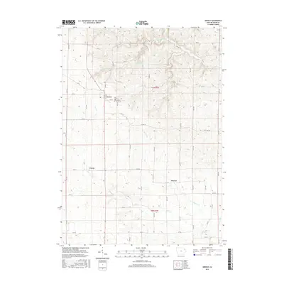
2015 Map of Greeley
USGS Topo · Published 2015About this map
Greeley and the surrounding agricultural townships of Delaware County are defined by a network of creeks and springs that feed into the local watershed. The settlement pattern is characterized by small rural hubs like Oneida and Almoral, connected by a precise grid of section-line roads such as 220th Ave and Co Hwy C64. The terrain transitions from open farmland to more dissected drainage areas carved by Fountain Springs Cr and Plum Cr.
Find a feature on this map
48 named features on this map. Tap any name to fly to it.
Don’t see what you’re looking for? This feature index may not catch every label — zoom into the map to look around manually.
Map Details
Editions of this 2015 Greeley Map
This is the sole edition of this map. No revisions or reprints were ever made.
Other maps of this area
1900 · Anamosa
USGS Topo · 1:125,000
1902 · Elkader
USGS Topo · 1:125,000
1957 · Colesburg
USGS Topo · 1:24,000
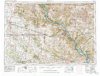
1959 · Dubuque
USGS Topo · 1:250,000
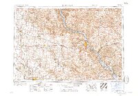
1961 · Dubuque
USGS Topo · 1:250,000
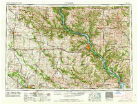
1962 · Dubuque
USGS Topo · 1:250,000
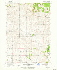
1962 · Petersburg
USGS Topo · 1:24,000
1964 · Edgewood
USGS Topo · 1:24,000
1964 · Garber
USGS Topo · 1:24,000
1965 · Thorpe
USGS Topo · 1:24,000