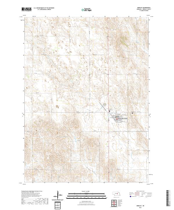
2021 Map of Greeley
USGS Topo · Published 2021About this map
Greeley Center and the surrounding plains of Greeley County appear here as a landscape defined by a precise section-line road grid and the winding paths of the Spring Creek drainage system. The town itself is anchored by the Greeley County Courthouse, with local streets such as Railway St and E Wicklow Ave marking the community's core. Outside the village, the terrain transitions into the broad Boston Valley, where the land is carved by the W Br Spring Cr and Fish Creek.
Find a feature on this map
36 named features on this map. Tap any name to fly to it.
Don’t see what you’re looking for? This feature index may not catch every label — zoom into the map to look around manually.
Map Details
Editions of this 2021 Greeley Map
This is the sole edition of this map. No revisions or reprints were ever made.
Other maps of this area

1899 · Loup
USGS Topo · 1:125,000

1899 · St. Paul
USGS Topo · 1:125,000

1953 · Scotia NE
USGS Topo · 1:24,000

1953 · Scotia
USGS Topo · 1:24,000

1954 · Horace
USGS Topo · 1:24,000

1954 · Greeley NE
USGS Topo · 1:24,000

1954 · Greeley
USGS Topo · 1:24,000

1954 · Greeley NW
USGS Topo · 1:24,000

1954 · Spalding SW
USGS Topo · 1:24,000

1954 · Wolbach
USGS Topo · 1:24,000