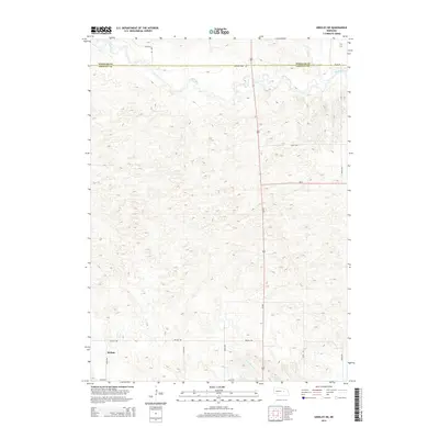
2014 Map of Greeley NE
USGS Topo · Published 2014About this map
Belfast is situated in the southwestern corner of this survey, serving as a primary point of reference in an area defined by the undulating Sandhills terrain of central Nebraska. The landscape is characterized by the winding path of the Cedar River, which cuts across the northern section, and the drainage patterns of Clear Cr and E Br Spring Cr. This topography dictates the local infrastructure, where a network of section-line roads like Belfast Rd and 495th Ave navigate the various elevations.
Find a feature on this map
18 named features on this map. Tap any name to fly to it.
Don’t see what you’re looking for? This feature index may not catch every label — zoom into the map to look around manually.
Map Details
Editions of this 2014 Greeley NE Map
This is the sole edition of this map. No revisions or reprints were ever made.
Other maps of this area

1954 · Horace
USGS Topo · 1:24,000

1954 · Greeley NE
USGS Topo · 1:24,000

1954 · Greeley
USGS Topo · 1:24,000

1954 · Greeley NW
USGS Topo · 1:24,000

1954 · Spalding SW
USGS Topo · 1:24,000

1954 · Spalding NW
USGS Topo · 1:24,000

1954 · Bartlett SE
USGS Topo · 1:24,000

1954 · Ericson
USGS Topo · 1:24,000

1955 · Broken Bow
USGS Topo · 1:250,000

1956 · Broken Bow
USGS Topo · 1:250,000