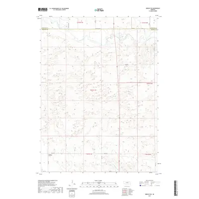
2017 Map of Greeley NE
USGS Topo · Published 2017About this map
Belfast sits in the southwestern portion of this 2017 survey, representing a pocket of settlement in the rolling prairie of central Nebraska. The landscape is defined by the winding course of the Cedar River, which cuts across the northern section of the map near the Wheeler and Greeley County border. This area is characterized by its network of section-line roads and the intricate drainage of small waterways like Rice Cr and E Br Spring Cr. The map captures the enduring agricultural character of the region, where names like Ericson Lake Rd and Belfast Rd reflect the local infrastructure connecting these remote ranching and farming communities. The survey detail highlights the interplay between the dry upland terrain and the vital water resources that have shaped the rural development of this part of the state for over a century.
Find a feature on this map
16 named features on this map. Tap any name to fly to it.
Don’t see what you’re looking for? This feature index may not catch every label — zoom into the map to look around manually.
Map Details
Editions of this 2017 Greeley NE Map
This is the sole edition of this map. No revisions or reprints were ever made.
Other maps of this area

1954 · Horace
USGS Topo · 1:24,000

1954 · Greeley NE
USGS Topo · 1:24,000

1954 · Greeley
USGS Topo · 1:24,000

1954 · Greeley NW
USGS Topo · 1:24,000

1954 · Spalding SW
USGS Topo · 1:24,000

1954 · Spalding NW
USGS Topo · 1:24,000

1954 · Bartlett SE
USGS Topo · 1:24,000

1954 · Ericson
USGS Topo · 1:24,000

1955 · Broken Bow
USGS Topo · 1:250,000

1956 · Broken Bow
USGS Topo · 1:250,000