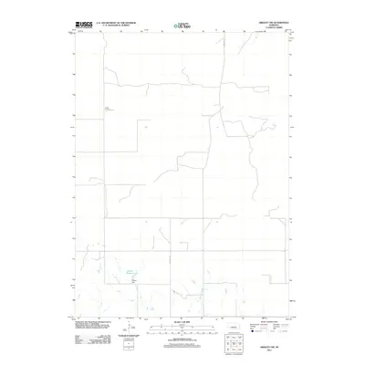
2011 Map of Greeley NW
USGS Topo · Published 2011About this map
Amity Cemetery stands as a quiet focal point in this portion of Greeley County, marking the long-standing community footprint in this agricultural landscape. The terrain is defined by the drainage patterns of Wallace Creek and the infrastructure of the Walker Dam, which contains Walker Reservoir in the southern reaches of the map. This 2011 survey documents a sparse but deliberate network of section-line roads, including N Scotia Rd and the throughway marked as Chesapeake. The map illustrates the specialized water management systems required to sustain Nebraska's plains, where small reservoirs and creek systems represent vital landmarks for local landholders and genealogists tracing family farmsteads.
Find a feature on this map
6 named features on this map. Tap any name to fly to it.
Don’t see what you’re looking for? This feature index may not catch every label — zoom into the map to look around manually.
Map Details
Editions of this 2011 Greeley NW Map
This is the sole edition of this map. No revisions or reprints were ever made.
Other maps of this area

1954 · Ord SE
USGS Topo · 1:24,000

1954 · Gables SE
USGS Topo · 1:24,000

1954 · Ord NE
USGS Topo · 1:24,000

1954 · Horace
USGS Topo · 1:24,000

1954 · Greeley NE
USGS Topo · 1:24,000

1954 · Greeley
USGS Topo · 1:24,000

1954 · Greeley NW
USGS Topo · 1:24,000

1954 · Bartlett SE
USGS Topo · 1:24,000

1954 · Ericson
USGS Topo · 1:24,000

1955 · Broken Bow
USGS Topo · 1:250,000