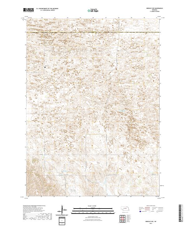
2021 Map of Greeley NW
USGS Topo · Published 2021About this map
The boundary between Wheeler and Greeley counties bisects this rural Nebraska landscape, where the shifting hydrology of the Loup River valley defines the terrain. The northern reaches are characterized by the North Channel Platte River and the small Walker Reservoir, which anchor the drainage of the area alongside Wallace Cr. This 2021 survey reveals a persistent grid of section-line roads, including Amity Rd and 814th Rd, which serve the agricultural plots of these sandhills borderlands. Local history is anchored at the Amity Cem, located in the northwest quadrant of the sheet. The map documents the enduring rural infrastructure of the region, where north-south connectors like Ericson-Scotia Ave link the sparsely populated townships.
Find a feature on this map
21 named features on this map. Tap any name to fly to it.
Don’t see what you’re looking for? This feature index may not catch every label — zoom into the map to look around manually.
Map Details
Editions of this 2021 Greeley NW Map
This is the sole edition of this map. No revisions or reprints were ever made.
Other maps of this area

1954 · Ord SE
USGS Topo · 1:24,000

1954 · Gables SE
USGS Topo · 1:24,000

1954 · Ord NE
USGS Topo · 1:24,000

1954 · Horace
USGS Topo · 1:24,000

1954 · Greeley NE
USGS Topo · 1:24,000

1954 · Greeley
USGS Topo · 1:24,000

1954 · Greeley NW
USGS Topo · 1:24,000

1954 · Bartlett SE
USGS Topo · 1:24,000

1954 · Ericson
USGS Topo · 1:24,000

1955 · Broken Bow
USGS Topo · 1:250,000