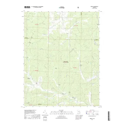
2017 Map of Greeley
USGS Topo · Published 2017About this map
Greeley and the settlement of Buick sit within a landscape dominated by the hollows and ridges of the Mark Twain National Forest. The geography is defined by the winding W Fork Black River and its numerous tributaries, including Bucksnort Fork and E Fork Huzaah Cr. Local history is preserved in small family and community burial grounds such as Camden Cem, Barton Cem, and Callahan Cem, often located near prominent terrain features like Hodge Hollow. The map also captures the intersection of natural beauty and industrial footprint, specifically at the Brushy Cr Mine Water Lake and along the Karkaghne Scenic Dr. Notable landmarks like Stooping Tree Ridge and Warren Valley provide specific points of reference for genealogists and local historians tracing land use in this part of Reynolds and Dent Counties.
Find a feature on this map
66 named features on this map. Tap any name to fly to it.
Don’t see what you’re looking for? This feature index may not catch every label — zoom into the map to look around manually.
Map Details
Editions of this 2017 Greeley Map
This is the sole edition of this map. No revisions or reprints were ever made.
Other maps of this area
1941 · Stone Hill
USGS Topo · 1:62,500
1943 · Boss
USGS Topo · 1:62,500
1944 · Corridon
USGS Topo · 1:62,500
1945 · Stone Hill
USGS Topo · 1:62,500
1945 · Round Spring
USGS Topo · 1:62,500
1946 · Boss
USGS Topo · 1:62,500
1947 · Sinkin
USGS Topo · 1:48,000
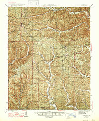
1947 · Corridon
USGS Topo · 1:62,500
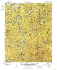
1949 · Round Spring
USGS Topo · 1:62,500

1949 · Rolla
USGS Topo · 1:250,000