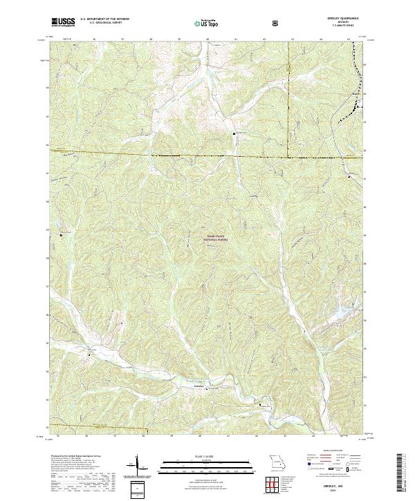
2021 Map of Greeley
USGS Topo · Published 2021About this map
Greeley and Buick sit at the heart of this Reynolds County landscape, where the West Fork Black River carves through the undulating Ozark terrain. The map reveals a high concentration of small family and community burial grounds, including Greeley Cem, Callahan Cem, and Barton Cem, which serve as vital markers for local genealogical research. Much of the land falls within the Mark Twain National Forest, reflecting the region's managed timber and conservation history.
Find a feature on this map
53 named features on this map. Tap any name to fly to it.
Don’t see what you’re looking for? This feature index may not catch every label — zoom into the map to look around manually.
Map Details
Editions of this 2021 Greeley Map
This is the sole edition of this map. No revisions or reprints were ever made.
Other maps of this area

1941 · Stone Hill
USGS Topo · 1:62,500

1943 · Boss
USGS Topo · 1:62,500

1944 · Corridon
USGS Topo · 1:62,500

1945 · Stone Hill
USGS Topo · 1:62,500

1945 · Round Spring
USGS Topo · 1:62,500

1946 · Boss
USGS Topo · 1:62,500

1947 · Sinkin
USGS Topo · 1:48,000

1947 · Corridon
USGS Topo · 1:62,500

1949 · Round Spring
USGS Topo · 1:62,500

1949 · Rolla
USGS Topo · 1:250,000