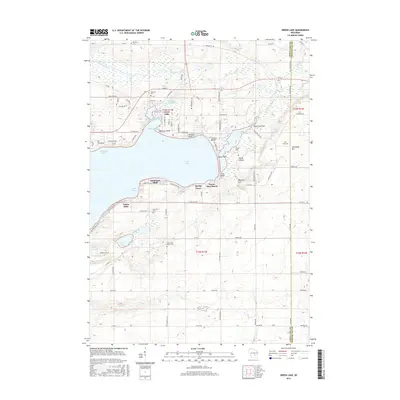
2015 Map of Green Lake
USGS Topo · Published 2015About this map
Green Lake serves as the dominant topographical and cultural center of this Wisconsin landscape, where shoreline developments like Oakwood Point, Terrace Beach, and Forest Glen Beach define the local geography. The northern reaches of the lake show industrial and water-management history through the Puchyan Mill Race and Dartford Mill Pond, features tied to the early milling operations that once utilized the outflow into the Puchyan River.
Find a feature on this map
100 named features on this map. Tap any name to fly to it.
Don’t see what you’re looking for? This feature index may not catch every label — zoom into the map to look around manually.
Map Details
Editions of this 2015 Green Lake Map
This is the sole edition of this map. No revisions or reprints were ever made.
Other maps of this area

1915 · Neshkoro
USGS Topo · 1:48,000

1916 · Ripon
USGS Topo · 1:48,000

1918 · Neshkoro
USGS Topo · 1:62,500

1918 · Ripon
USGS Topo · 1:62,500

1955 · Randolph
USGS Topo · 1:62,500

1955 · Fox Lake
USGS Topo · 1:62,500

1956 · Ripon
USGS Topo · 1:62,500

1957 · Madison
USGS Topo · 1:250,000

1960 · Madison
USGS Topo · 1:250,000

1963 · Neshkoro
USGS Topo · 1:62,500
Featured Places
- Green Lake, City of Green Lake
- City of Green Lake, WI
- Brooklyn, WI
- Tuleta Hills, WI
- Green Lake Station, WI