Loading...
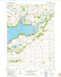
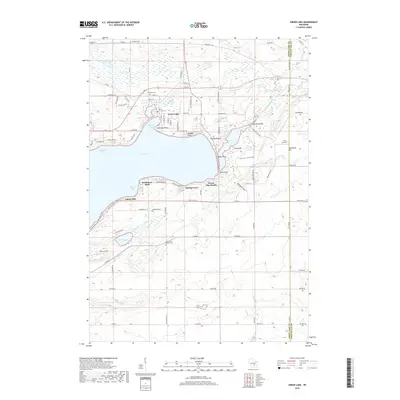
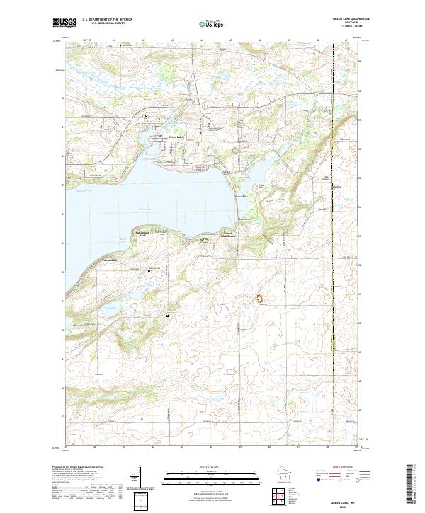
Loading map...1980 Map of Green Lake
USGS Topo · Published 1981About this map
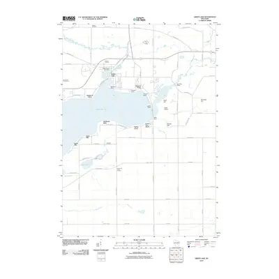
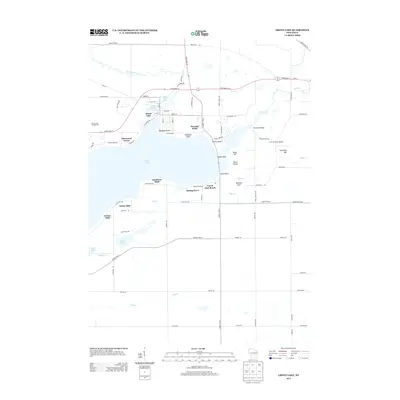
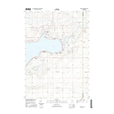
Green Lake dominates this landscape, its deep waters and indented shoreline defining the local recreation and settlement patterns. Along the northern shore, the city of Green Lake is a hub for community life, featuring the Fairground, Tuscumbia Country Club, and several waterfront parks including Hattie Sherwood Park. The map captures the transition from lakeside residences at Terrace Beach and Arcade Acres to the surrounding agricultural uplands.
Find a feature on this map
52 named features on this map. Tap any name to fly to it.
Don’t see what you’re looking for? This feature index may not catch every label — zoom into the map to look around manually.
Map Details
Date Portrayed1980
Date Published1981
PublisherU.S. Geological Survey
Map TypeTopographic
Scale1:24,000
Physical Dimensions21.53 x 27.26 inches
Editions of this 1980 Green Lake Map
This is the sole edition of this map. No revisions or reprints were ever made.
Historical Maps of Green Lake Through Time
6 maps found
Featured Locations
- Brooklyn, WI
- City of Green Lake, WI
- Green Lake, City of Green Lake
- Forest Glen Beach, Green Lake
- Sandstone Bluff, Green Lake
Source Details
SourceU.S. Geological Survey
CopyrightPublic Domain