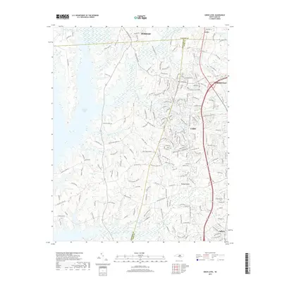
2019 Map of Green Level
USGS Topo · Published 2019About this map
B Everett Jordan Lake dominates the western expanse of this region, where the boundaries of Durham, Chatham, and Wake counties converge. This 2019 survey captures a landscape of rapid suburban expansion as the city limits of Durham, Cary, Morrisville, and Apex push into formerly rural corridors. Despite the modern road networks like Alston Ave and Kit Creek Rd, the map preserves the locations of foundational community landmarks, including New Hope Church, Mt Pisgah Church, and Green Level Church. The terrain is defined by a dense network of tributaries such as Northeast Cr, Indian Cr, and White Oak Cr, which flow through the undulating land toward the reservoir, illustrating the historical importance of these watercourses to the area's original settlement patterns before the creation of the lake.
Find a feature on this map
201 named features on this map. Tap any name to fly to it.
Don’t see what you’re looking for? This feature index may not catch every label — zoom into the map to look around manually.
Map Details
Editions of this 2019 Green Level Map
This is the sole edition of this map. No revisions or reprints were ever made.
Other maps of this area

1943 · Durham South
USGS Topo · 1:62,500

1946 · Chapel Hill
USGS Topo · 1:24,000

1947 · Chapel Hill
USGS Topo · 1:31,680

1951 · Farrington
USGS Topo · 1:24,000

1951 · Durham South
USGS Topo · 1:62,500

1953 · Raleigh
USGS Topo · 1:250,000

1954 · Raleigh
USGS Topo · 1:250,000

1969 · New Hope Dam
USGS Topo · 1:24,000
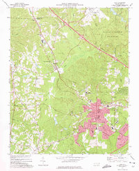
1973 · Cary
USGS Topo · 1:24,000
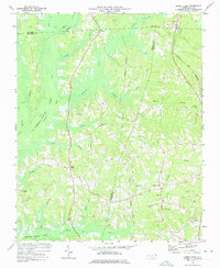
1973 · Green Level
USGS Topo · 1:24,000