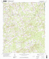
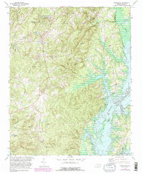
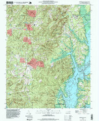
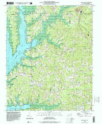
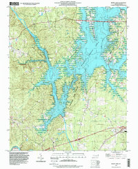
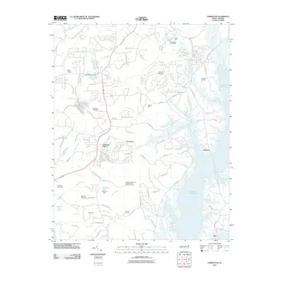
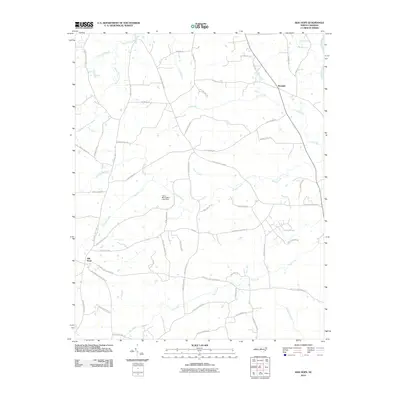
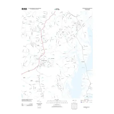
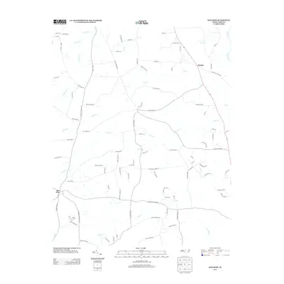
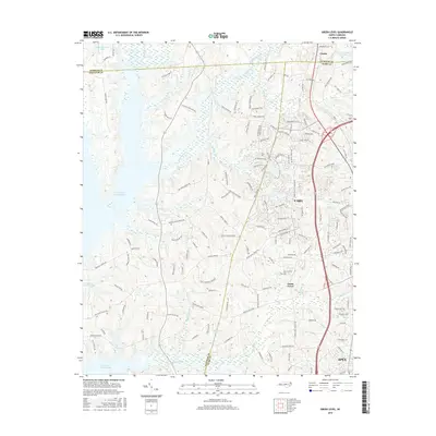
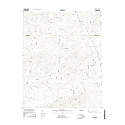
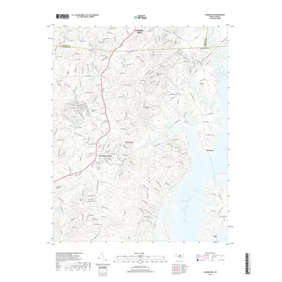
2023 Map of Green Level
USGS Topo · Published 2023About this map
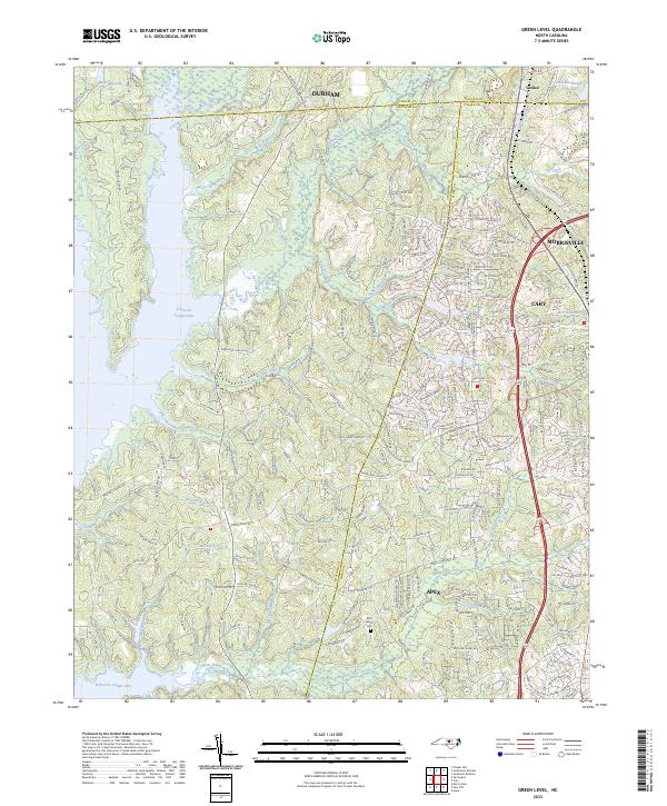
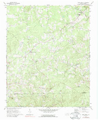
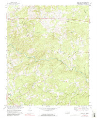
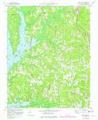
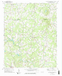
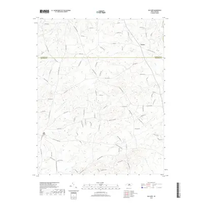
B Everett Jordan Lake dominates the western edge of this landscape where the borders of Durham, Chatham, and Wake counties converge. The terrain transitions from the inundated basin of New Hope Creek to the rapidly developing suburban corridors near Apex, Cary, and Morrisville. This modern survey reveals a dense network of residential streets and arterial roads like Fayetteville Rd and O'Kelly Chapel Rd encroaching upon older rural landmarks. Despite the growth, several institutional anchors remain, including the Mills Family Cem and a cluster of local congregations such as Mount Pisgah Church, Green Level Church, and White Oak Church. The map illustrates the contemporary suburbanization of the Research Triangle periphery, where local education at Green Hope School and public safety at Carpenter Fire Station serve a landscape once defined by quiet branches like Indian Creek and Lick Branch.
Find a feature on this map
226 named features on this map. Tap any name to fly to it.
Don’t see what you’re looking for? This feature index may not catch every label — zoom into the map to look around manually.
Map Details
Editions of this 2023 Green Level Map
This is the sole edition of this map. No revisions or reprints were ever made.
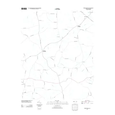
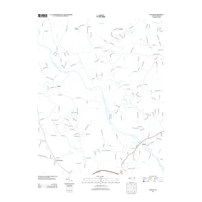
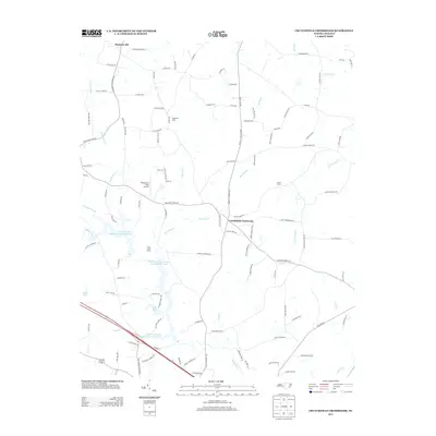
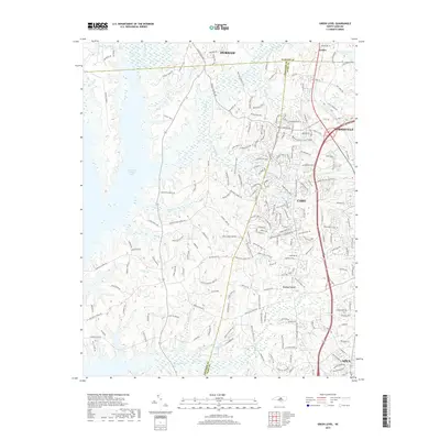
Historical Maps of Durham Through Time
52 maps found
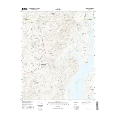
1951 Farrington
Chatham County, NC
1968 Bynum
Chatham County, NC
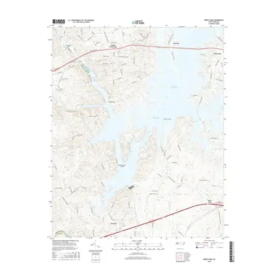
1969 Merry Oaks
Chatham County, NC
1970 Bear Creek
Chatham County, NC
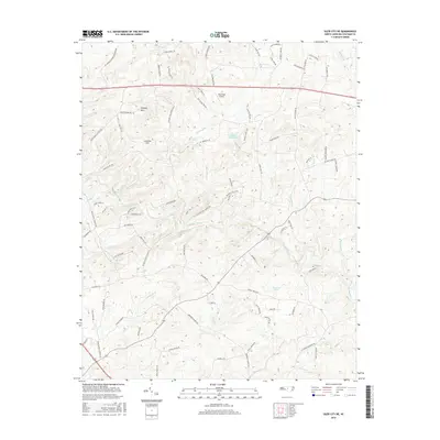
1970 Siler City NE
Chatham County, NC
1973 Green Level
Chatham County, NC
1974 Crutchfield Crossroads
Chatham County, NC
1974 Silk Hope
Chatham County, NC
1978 Farrington
Chatham County, NC
1993 Farrington
Chatham County, NC
1993 Green Level
Chatham County, NC
1993 Merry Oaks
Chatham County, NC
2010 Bear Creek
Chatham County, NC
2010 Bynum
Chatham County, NC
2010 Crutchfield Crossroads
Chatham County, NC
2010 Farrington
Chatham County, NC
2010 Green Level
Chatham County, NC
2010 Merry Oaks
Chatham County, NC
2010 Siler City NE
Chatham County, NC
2010 Silk Hope
Chatham County, NC
2013 Bear Creek
Chatham County, NC
2013 Bynum
Chatham County, NC
2013 Crutchfield Crossroads
Chatham County, NC
2013 Farrington
Chatham County, NC
2013 Green Level
Chatham County, NC
2013 Merry Oaks
Chatham County, NC
2013 Siler City NE
Chatham County, NC
2013 Silk Hope
Chatham County, NC
2016 Bear Creek
Chatham County, NC
2016 Bynum
Chatham County, NC
2016 Crutchfield Crossroads
Chatham County, NC
2016 Farrington
Chatham County, NC
2016 Green Level
Chatham County, NC
2016 Merry Oaks
Chatham County, NC
2016 Siler City NE
Chatham County, NC
2016 Silk Hope
Chatham County, NC
2019 Bear Creek
Chatham County, NC
2019 Bynum
Chatham County, NC
2019 Crutchfield Crossroads
Chatham County, NC
2019 Farrington
Chatham County, NC
2019 Green Level
Chatham County, NC
2019 Merry Oaks
Chatham County, NC
2019 Siler City NE
Chatham County, NC
2019 Silk Hope
Chatham County, NC
2022 Bear Creek
Chatham County, NC
2022 Bynum
Chatham County, NC
2022 Crutchfield Crossroads
Chatham County, NC
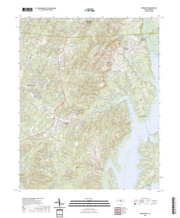
2022 Farrington
Chatham County, NC
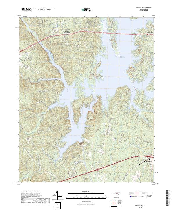
2022 Merry Oaks
Chatham County, NC
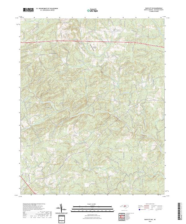
2022 Siler City NE
Chatham County, NC
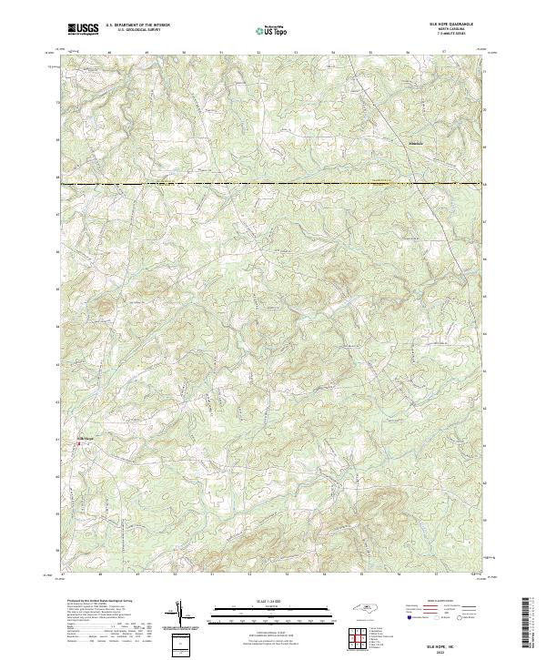
2022 Silk Hope
Chatham County, NC
2023 Green Level
Chatham County, NC