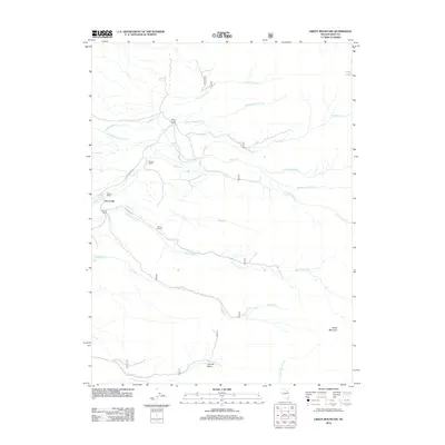
2012 Map of Green Mountain
USGS Topo · Published 2012About this map
Dry Creek sits at the heart of this high-elevation landscape in Elko County, where the settlement patterns reflect a legacy of Nevada ranching. The map shows a series of historic family holdings connected by Smith Creek Rd, including the Smith Creek Ranch, Riordan Ranch, Merkley Ranch, and Achurra Ranch. These properties are positioned strategically along the drainage systems that flow from the surrounding heights, such as Smith Cr and McCutcheon Cr.
Find a feature on this map
24 named features on this map. Tap any name to fly to it.
Don’t see what you’re looking for? This feature index may not catch every label — zoom into the map to look around manually.
Map Details
Editions of this 2012 Green Mountain Map
This is the sole edition of this map. No revisions or reprints were ever made.
Other maps of this area

1934 · Jiggs
USGS Topo · 1:125,000

1935 · Halleck
USGS Topo · 1:125,000

1937 · Jiggs
USGS Topo · 1:125,000

1955 · Elko
USGS Topo · 1:250,000

1958 · Elko
USGS Topo · 1:250,000

1959 · Jiggs
USGS Topo · 1:62,500

1962 · Elko
USGS Topo · 1:250,000

1962 · Lee
USGS Topo · 1:62,500

1962 · Lamoille
USGS Topo · 1:62,500

1965 · Elko
USGS Topo · 1:250,000