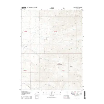
2014 Map of Green Mountain
USGS Topo · Published 2014About this map
Dry Creek stands as a primary point of reference in this landscape dominated by the southern reaches of the Ruby Mountains. The area is characterized by a complex drainage system that feeds into Carville Basin, with numerous watercourses such as Smith Cr, McCutcheon Cr, and Gilbert Cr carving through the high-elevation terrain. Much of the eastern and southern portion of the map is protected within the Humboldt National Forest, where topographic features like Green Mountain rise above the surrounding valleys.
Find a feature on this map
26 named features on this map. Tap any name to fly to it.
Don’t see what you’re looking for? This feature index may not catch every label — zoom into the map to look around manually.
Map Details
Editions of this 2014 Green Mountain Map
This is the sole edition of this map. No revisions or reprints were ever made.
Other maps of this area
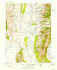
1934 · Jiggs
USGS Topo · 1:125,000
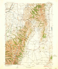
1935 · Halleck
USGS Topo · 1:125,000
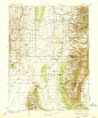
1937 · Jiggs
USGS Topo · 1:125,000
1955 · Elko
USGS Topo · 1:250,000
1958 · Elko
USGS Topo · 1:250,000
1959 · Jiggs
USGS Topo · 1:62,500
1962 · Elko
USGS Topo · 1:250,000
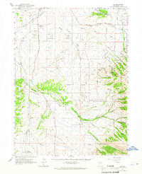
1962 · Lee
USGS Topo · 1:62,500
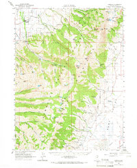
1962 · Lamoille
USGS Topo · 1:62,500
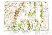
1965 · Elko
USGS Topo · 1:250,000