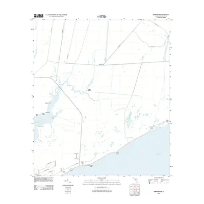
2012 Map of Green Point
USGS Topo · Published 2012About this map
Gulf of Mexico tides dictate the landscape along this Franklin County coast, where the small settlement of Green Point anchors a network of winding waterways and low-lying marshes. The topography is defined by a series of points and bluffs, including High Bluff, Royal Bluff, and Marsh Point, which break the shoreline between complex drainage systems like Whiskey George Creek and Trout Creek. These coastal features suggest a history of maritime navigation and local fishing, with intricate inlets such as Cash Bayou, Carrin Bayou, and East Bayou providing shelter from the open sea.
Find a feature on this map
47 named features on this map. Tap any name to fly to it.
Don’t see what you’re looking for? This feature index may not catch every label — zoom into the map to look around manually.
Map Details
Editions of this 2012 Green Point Map
This is the sole edition of this map. No revisions or reprints were ever made.
Other maps of this area

1943 · Apalachicola
USGS Topo · 1:31,680

1943 · Carrabelle
USGS Topo · 1:24,000

1944 · Pickett Bay
USGS Topo · 1:31,680

1944 · Carrabelle
USGS Topo · 1:31,680

1944 · Green Point
USGS Topo · 1:31,680

1944 · Sugar Hill
USGS Topo · 1:31,680

1944 · Apalachicola
USGS Topo · 1:24,000

1945 · Tates Hell Swamp
USGS Topo · 1:31,680

1945 · Sugar Hill
USGS Topo · 1:31,680

1945 · Beverly
USGS Topo · 1:31,680