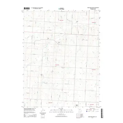
2014 Map of Green Ridge North
USGS Topo · Published 2014About this map
The headwaters of Muddy Creek and Elk Fork carve a network of small drainages across this section of Pettis County, shaping a rural landscape defined by a strictly surveyed grid of county roads. These routes, including Main St Rd and 32nd St Rd, provide access to a series of family and community burial grounds that offer significant genealogical value. Old Hickory Point Cemetery, Craighead Cemetery, and Botts Cemetery are among the scattered landmarks reflecting generations of agricultural settlement north of Green Ridge. The terrain is characterized by the subtle transition between the drainage basins of Walnut Br and Brushy Cr, with local navigation still tied to family-named landmarks like Rabourn Cemetery and Bethel Cemetery. This 2014 survey documents the enduring rural structure of the region, where the placement of cemeteries and small bridges like those over Bee Br remains central to the local geography.
Find a feature on this map
70 named features on this map. Tap any name to fly to it.
Don’t see what you’re looking for? This feature index may not catch every label — zoom into the map to look around manually.
Map Details
Editions of this 2014 Green Ridge North Map
This is the sole edition of this map. No revisions or reprints were ever made.
Other maps of this area

1885 · Warrensburg
USGS Topo · 1:125,000

1887 · Sedalia
USGS Topo · 1:125,000

1887 · Warrensburg
USGS Topo · 1:125,000

1894 · Sedalia
USGS Topo · 1:125,000

1894 · Warrensburg
USGS Topo · 1:125,000

1917 · Knobnoster
USGS Topo · 1:62,500

1939 · Sweet Springs
USGS Topo · 1:62,500

1940 · Sweet Springs
USGS Topo · 1:62,500

1941 · Sweet Springs
USGS Topo · 1:62,500

1944 · Sedalia West
USGS Topo · 1:24,000