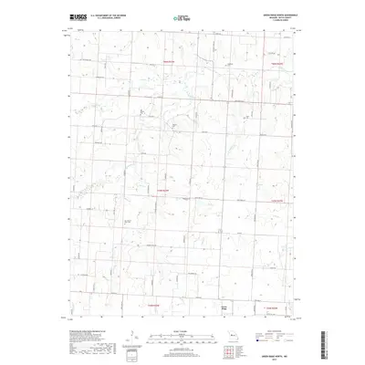
2017 Map of Green Ridge North
USGS Topo · Published 2017About this map
Muddy Creek and its many tributaries, including Brushy Cr and Long Br, define the drainage patterns of this Pettis County landscape. The northern outskirts of Green Ridge appear at the southern edge, while the surrounding countryside is marked by a network of rural roads such as Mahin Rd and Hickory Point Rd. These roads often follow the section lines of the Public Land Survey System, reflecting the organized agricultural layout of central Missouri.
Find a feature on this map
45 named features on this map. Tap any name to fly to it.
Don’t see what you’re looking for? This feature index may not catch every label — zoom into the map to look around manually.
Map Details
Editions of this 2017 Green Ridge North Map
This is the sole edition of this map. No revisions or reprints were ever made.
Other maps of this area

1885 · Warrensburg
USGS Topo · 1:125,000

1887 · Sedalia
USGS Topo · 1:125,000

1887 · Warrensburg
USGS Topo · 1:125,000

1894 · Sedalia
USGS Topo · 1:125,000

1894 · Warrensburg
USGS Topo · 1:125,000

1917 · Knobnoster
USGS Topo · 1:62,500

1939 · Sweet Springs
USGS Topo · 1:62,500

1940 · Sweet Springs
USGS Topo · 1:62,500

1941 · Sweet Springs
USGS Topo · 1:62,500

1944 · Sedalia West
USGS Topo · 1:24,000