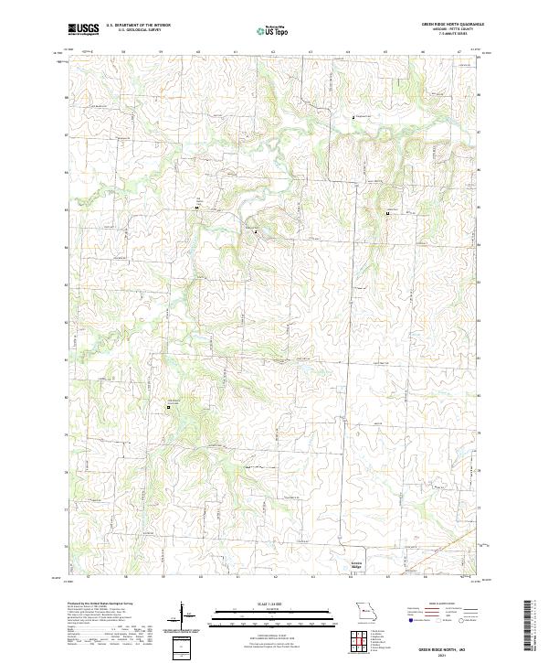
2021 Map of Green Ridge North
USGS Topo · Published 2021About this map
Muddy Creek and its many tributaries, including Elm Fork and W Elk Fork, carve a dendritic pattern across this portion of Pettis County. The landscape is defined by a dense grid of rural thoroughfares such as Main Street Rd and Voting House Rd, which connect scattered homesteads and agricultural plots. This settlement pattern is anchored by numerous small family and community burial grounds that serve as vital links for local genealogy.
Find a feature on this map
65 named features on this map. Tap any name to fly to it.
Don’t see what you’re looking for? This feature index may not catch every label — zoom into the map to look around manually.
Map Details
Editions of this 2021 Green Ridge North Map
This is the sole edition of this map. No revisions or reprints were ever made.
Other maps of this area

1885 · Warrensburg
USGS Topo · 1:125,000

1887 · Sedalia
USGS Topo · 1:125,000

1887 · Warrensburg
USGS Topo · 1:125,000

1894 · Sedalia
USGS Topo · 1:125,000

1894 · Warrensburg
USGS Topo · 1:125,000

1917 · Knobnoster
USGS Topo · 1:62,500

1939 · Sweet Springs
USGS Topo · 1:62,500

1940 · Sweet Springs
USGS Topo · 1:62,500

1941 · Sweet Springs
USGS Topo · 1:62,500

1944 · Sedalia West
USGS Topo · 1:24,000