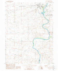
1988 Map of Green River
USGS Topo · Published 1988About this map
The Green River carves a winding path through the Gunnison Valley in this late-1980s survey, marking the boundary between Emery and Grand counties. The town of Green River is the central hub, supported by the Green River Municipal Airport and protected by a series of Levees along the riverbank. This arid landscape is defined by its drainage systems, including Saleratus Wash, Fiuemile Wash, and Ninemile Wash, which reveal the erosive forces at work in the high desert.
Find a feature on this map
20 named features on this map. Tap any name to fly to it.
Don’t see what you’re looking for? This feature index may not catch every label — zoom into the map to look around manually.
Map Details
Editions of this 1988 Green River Map
2 editions found
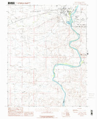
Other maps of this area

1885 · San Rafael
USGS Topo · 1:250,000

1886 · Price River
USGS Topo · 1:250,000

1896 · Price River
USGS Topo · 1:250,000

1954 · Tidwell 1 NE
USGS Topo · 1:24,000

1954 · Tidwell 1 SW
USGS Topo · 1:24,000

1954 · Tidwell 2 SE
USGS Topo · 1:24,000

1954 · Tidwell 2 NE
USGS Topo · 1:24,000

1954 · Tidwell 1 NW
USGS Topo · 1:24,000

1954 · Tidwell 1 SE
USGS Topo · 1:24,000

1954 · Tidwell Bottoms
USGS Topo · 1:62,500