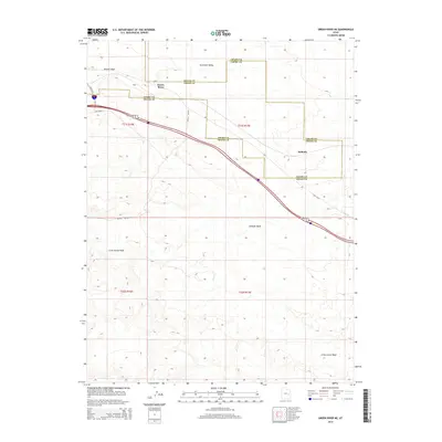
2014 Map of Green River NE
USGS Topo · Published 2014About this map
Gunnison Valley topography dominates this 2014 survey, highlighting the intricate drainage systems and high-desert terrain where Emery and Grand counties meet. The landscape is defined by its hydrologic features, including the notable Crystal Geyser and the sprawling pathways of Browns Wash and Little Grand Wash. The map documents a sparse but significant transportation network, from the residential edge of Green River along E Main St to the historical corridor of Old US 50. A peculiar local label, New Area 51, appears near the interstate interchange, reflecting contemporary naming conventions in this arid region. The small settlement of Solitude sits isolated further east, served by the rail and road links that bisect the quadrangle, providing a clear view of how transit infrastructure dictates human presence in the Utah desert.
Find a feature on this map
17 named features on this map. Tap any name to fly to it.
Don’t see what you’re looking for? This feature index may not catch every label — zoom into the map to look around manually.
Map Details
Editions of this 2014 Green River NE Map
This is the sole edition of this map. No revisions or reprints were ever made.
Other maps of this area
1885 · San Rafael
USGS Topo · 1:250,000
1885 · East Tavaputs
USGS Topo · 1:250,000
1885 · La Sal
USGS Topo · 1:250,000
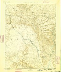
1886 · Price River
USGS Topo · 1:250,000
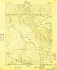
1896 · Price River
USGS Topo · 1:250,000
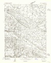
1954 · Tidwell 1 NE
USGS Topo · 1:24,000
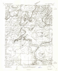
1954 · Tidwell 1 SW
USGS Topo · 1:24,000
1954 · Tidwell 1 NW
USGS Topo · 1:24,000
1954 · Tidwell 1 SE
USGS Topo · 1:24,000
1954 · Green River
USGS Topo · 1:62,500