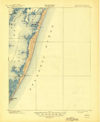
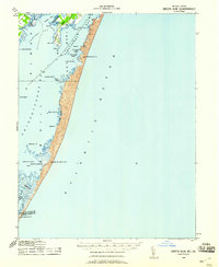
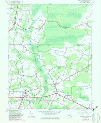
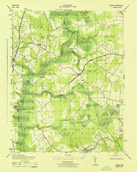
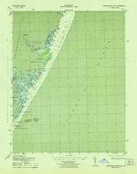
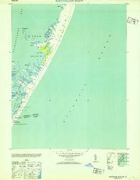
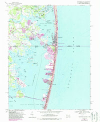
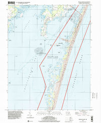
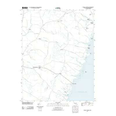
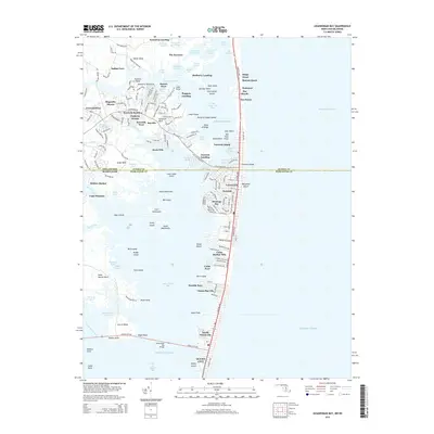
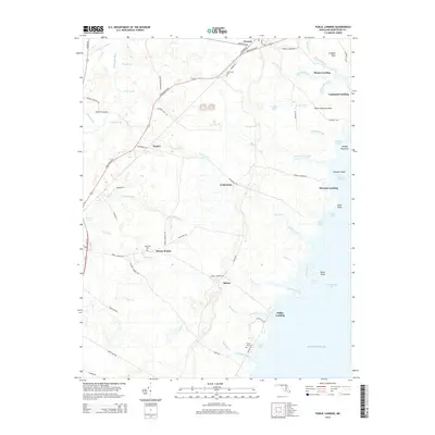
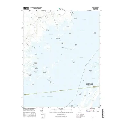
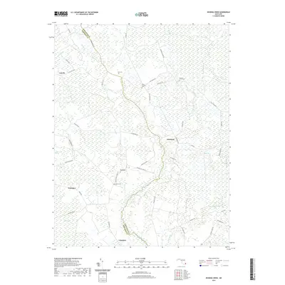
1901 Map of Green Run
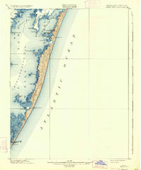
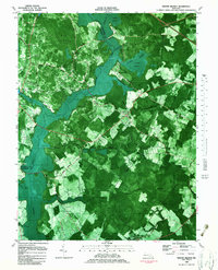
USGS Topo · Published 1944About this map
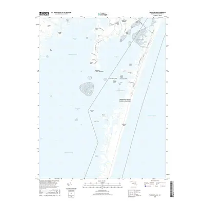
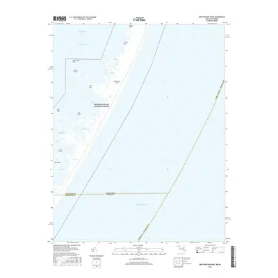
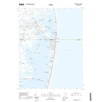
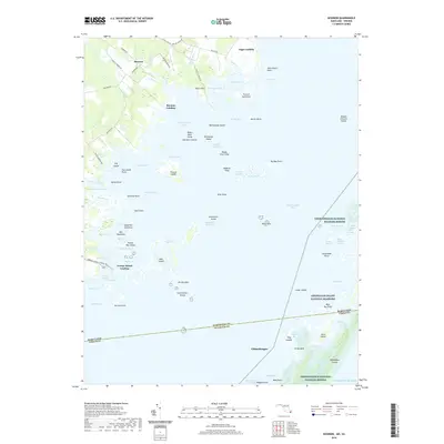
Scotts Landing and the remote Life-Saving Service stations define this coastal landscape at the turn of the century. Situated along the barrier islands and interior sounds of Worcester County, the area is a complex network of marshes, tumps, and narrows. The presence of North Beach L.S.S., Green Run Inlet L.S.S., and Pope Island L.S.S. highlights the vital importance of maritime safety along the Atlantic Ocean before modern navigation. Land use is largely concentrated on the necks, including Sinepuxent Neck and Newport Neck, while the bays are dotted with family-named features like Handys Hammock, Whittington Point, and Tingles Island. This survey captures the Maryland-Virginia border crossing through Chincoteague Bay, preserving the location of early coastal landings and seasonal encampments like Winter Quarter before the expansion of mid-century development.
Find a feature on this map
39 named features on this map. Tap any name to fly to it.
Don’t see what you’re looking for? This feature index may not catch every label — zoom into the map to look around manually.
Map Details
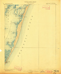
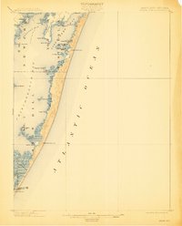
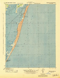
Editions of this 1901 Green Run Map
4 editions found
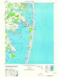
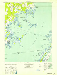
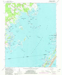
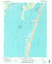
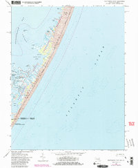
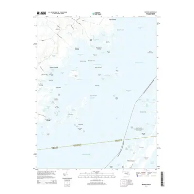
Historical Maps of Newport South Through Time
66 maps found
1901 Green Run
Worcester County, MD
1938 Green Run
Worcester County, MD

1942 Dividing Creek
Worcester County, MD
1942 Ninepin
Worcester County, MD
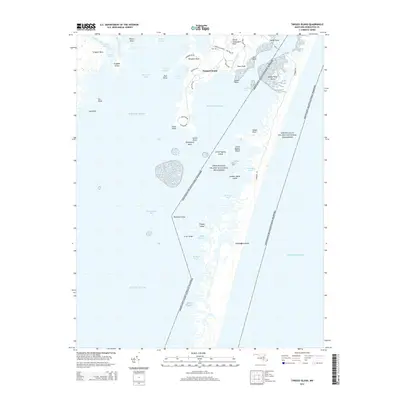
1942 Tingles Island
Worcester County, MD
1942 Wesley
Worcester County, MD
1942 Whaleysville
Worcester County, MD
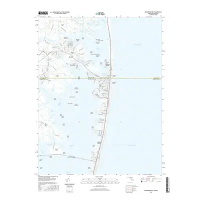
1943 Assawoman Bay
Worcester County, MD
1943 Boxiron
Worcester County, MD
1943 Dividing Creek
Worcester County, MD
1943 Ninepin
Worcester County, MD
1943 Tingles Island
Worcester County, MD
1943 Wesley
Worcester County, MD
1943 Whaleysville
Worcester County, MD
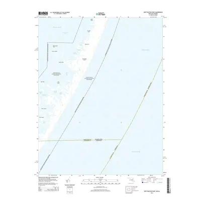
1943 Whittington Point
Worcester County, MD
1944 Green Run
Worcester County, MD
1953 Assawoman Bay
Worcester County, MD
1953 Boxiron
Worcester County, MD
1953 Whittington Point
Worcester County, MD
1964 Boxiron
Worcester County, MD
1964 Tingles Island
Worcester County, MD
1964 Whittington Point
Worcester County, MD
1967 Assawoman Bay
Worcester County, MD
1967 Public Landing
Worcester County, MD
1973 Dividing Creek
Worcester County, MD
1980 Assawoman Bay
Worcester County, MD
1982 Ninepin Branch
Worcester County, MD
1992 Assawoman Bay
Worcester County, MD
1992 Whaleysville
Worcester County, MD
1997 Assawoman Bay
Worcester County, MD
1998 Tingles Island
Worcester County, MD
2011 Boxiron
Worcester County, MD
2011 Dividing Creek
Worcester County, MD
2011 Ninepin Branch
Worcester County, MD
2011 Public Landing
Worcester County, MD
2011 Tingles Island
Worcester County, MD
2011 Whittington Point
Worcester County, MD
2013 Assawoman Bay
Worcester County, MD
2014 Assawoman Bay
Worcester County, MD
2014 Boxiron
Worcester County, MD
2014 Dividing Creek
Worcester County, MD
2014 Ninepin Branch
Worcester County, MD
2014 Public Landing
Worcester County, MD
2014 Tingles Island
Worcester County, MD
2014 Whittington Point
Worcester County, MD
2016 Assawoman Bay
Worcester County, MD
2016 Boxiron
Worcester County, MD
2016 Dividing Creek
Worcester County, MD
2016 Ninepin Branch
Worcester County, MD
2016 Public Landing
Worcester County, MD
2016 Tingles Island
Worcester County, MD
2016 Whittington Point
Worcester County, MD
2019 Assawoman Bay
Worcester County, MD
2019 Boxiron
Worcester County, MD
2019 Dividing Creek
Worcester County, MD
2019 Ninepin Branch
Worcester County, MD
2019 Public Landing
Worcester County, MD
2019 Tingles Island
Worcester County, MD
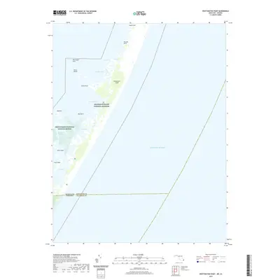
2019 Whittington Point
Worcester County, MD
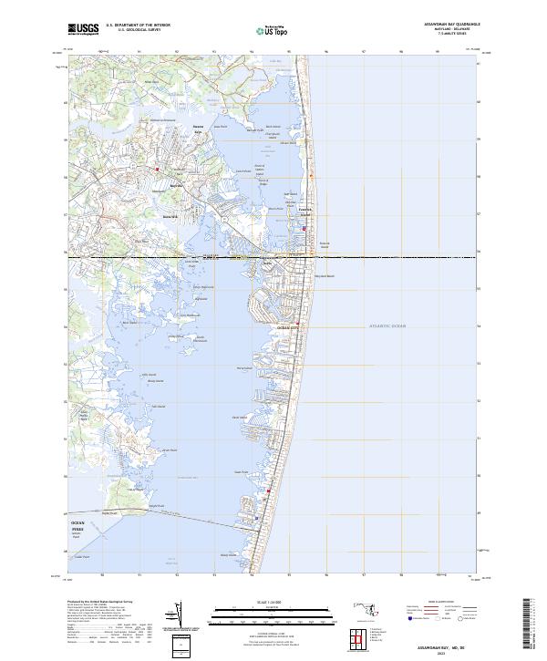
2023 Assawoman Bay
Worcester County, MD
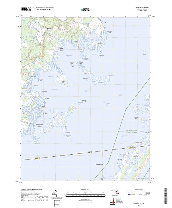
2023 Boxiron
Worcester County, MD
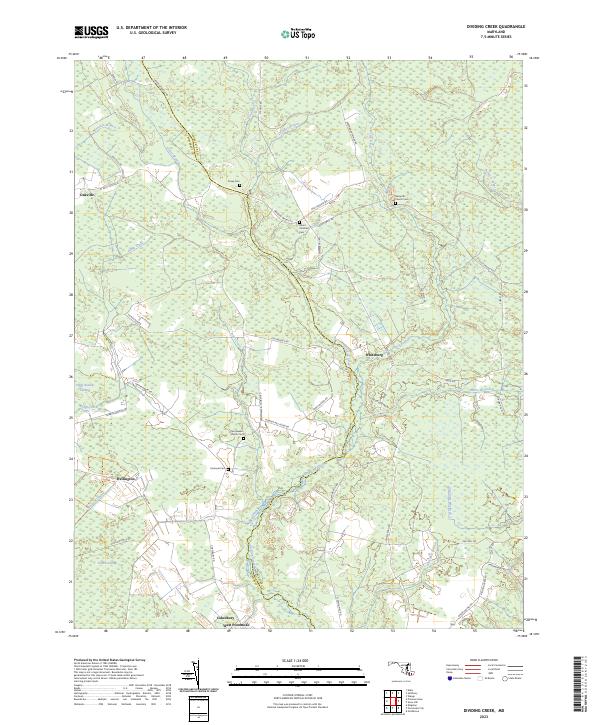
2023 Dividing Creek
Worcester County, MD
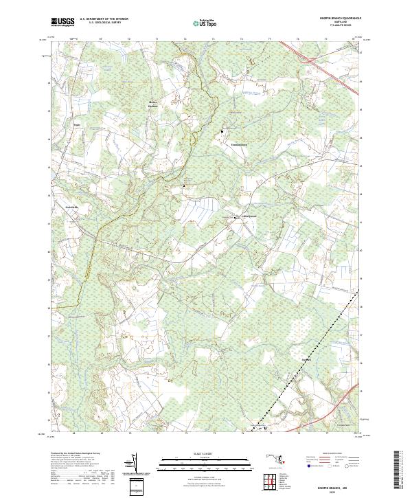
2023 Ninepin Branch
Worcester County, MD
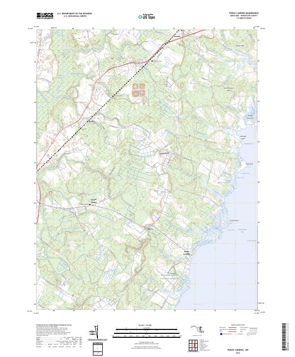
2023 Public Landing
Worcester County, MD
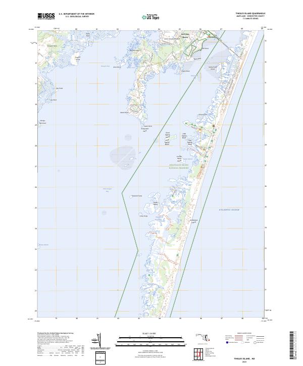
2023 Tingles Island
Worcester County, MD
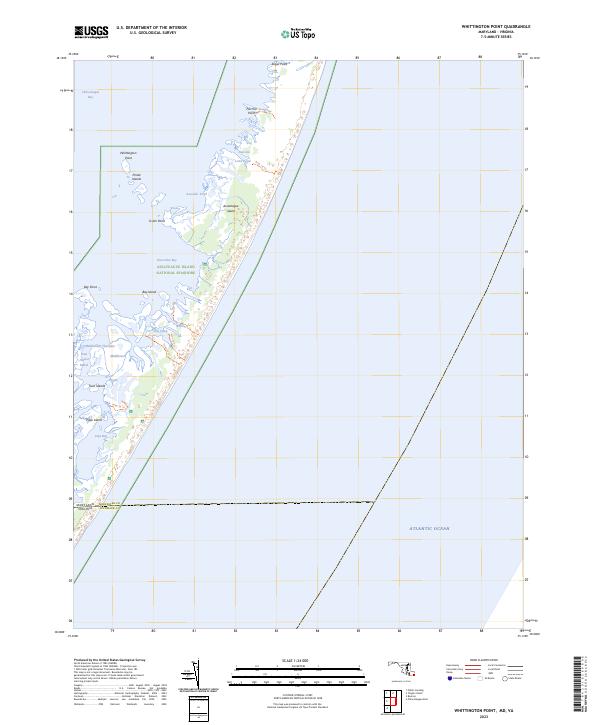
2023 Whittington Point
Worcester County, MD