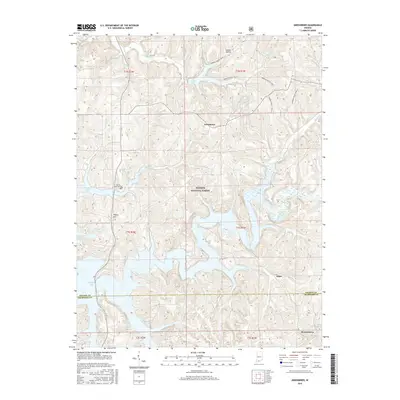
2016 Map of Greenbrier
USGS Topo · Published 2016About this map
Hoosier National Forest dominates this section of southern Indiana, where the rugged topography of Orange and Crawford counties is defined by the expansive waters of Patoka Lake. The landscape transition from the high point at Tillery Hill down to the flooded valleys of the Patoka River illustrates the modern hydrology of the region. Small, established settlements like Greenbrier and Ethel are situated amidst a network of drainage creeks including Painter Cr and Cane Br. For those interested in local heritage, the Patoka Memorial Cem stands near the lake's edge, while the northern reaches feature Tucker Lake and the recreational paths of Springs Valley Trail 1. The map also documents the southernmost edge of the quadrangle at Brownstown and its namesake Brownstown Br.
Find a feature on this map
28 named features on this map. Tap any name to fly to it.
Don’t see what you’re looking for? This feature index may not catch every label — zoom into the map to look around manually.
Map Details
Editions of this 2016 Greenbrier Map
This is the sole edition of this map. No revisions or reprints were ever made.
Other maps of this area
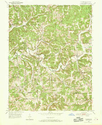
1950 · Valeene
USGS Topo · 1:24,000
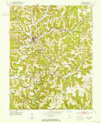
1950 · English
USGS Topo · 1:24,000
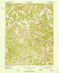
1951 · Hillham
USGS Topo · 1:24,000
1951 · French Lick
USGS Topo · 1:24,000
1956 · Greenbrier
USGS Topo · 1:24,000
1956 · Taswell
USGS Topo · 1:24,000
1956 · Vincennes
USGS Topo · 1:250,000
1957 · Vincennes
USGS Topo · 1:250,000
1957 · Cuzco
USGS Topo · 1:24,000
1957 · Paoli
USGS Topo · 1:24,000