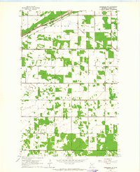
1962 Map of Greenbush NE
USGS Topo · Published 1964About this map
The South Branch Two Rivers meanders across the northern edge of this Roseau County landscape, paralleling the Great Northern railroad line. This 1962 survey reveals a rural Minnesota environment defined by township boundaries such as Barnett, Skagen, and Stokes. The distribution of farmsteads and field lines is meticulously documented, with many structures connected by a network of light-duty and unimproved roads.
Find a feature on this map
11 named features on this map. Tap any name to fly to it.
Don’t see what you’re looking for? This feature index may not catch every label — zoom into the map to look around manually.
Map Details
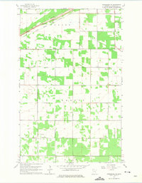
Editions of this 1962 Greenbush NE Map
2 editions found
Other maps of this area

1918 · Roseau
USGS Topo · 1:62,500

1918 · Garland
USGS Topo · 1:62,500

1918 · Greenbush
USGS Topo · 1:62,500

1919 · Badger
USGS Topo · 1:62,500

1952 · Thief River Falls
USGS Topo · 1:250,000

1954 · Roseau
USGS Topo · 1:250,000

1956 · Thief River Falls
USGS Topo · 1:250,000

1957 · Roseau
USGS Topo · 1:250,000

1957 · Thief River Falls
USGS Topo · 1:250,000

1958 · Roseau
USGS Topo · 1:250,000