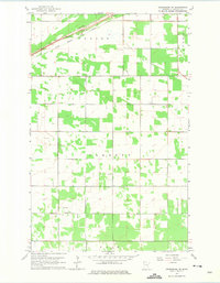
1962 Map of Greenbush NE
USGS Topo · Published 1975About this map
Stokes, Barnett, and Huss townships intersect in this corner of Roseau County, defining a rural landscape shaped by northern Minnesota’s low-lying drainage patterns. The Great Northern railroad cuts a diagonal line across the northwest corner, running parallel to the South Branch Two Rivers. This rail and river corridor provided the primary infrastructure for early 20th-century movement through the region.
Find a feature on this map
9 named features on this map. Tap any name to fly to it.
Don’t see what you’re looking for? This feature index may not catch every label — zoom into the map to look around manually.
Map Details
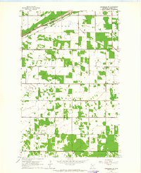
Editions of this 1962 Greenbush NE Map
2 editions found
Other maps of this area

1918 · Roseau
USGS Topo · 1:62,500

1918 · Garland
USGS Topo · 1:62,500

1918 · Greenbush
USGS Topo · 1:62,500

1919 · Badger
USGS Topo · 1:62,500

1952 · Thief River Falls
USGS Topo · 1:250,000

1954 · Roseau
USGS Topo · 1:250,000

1956 · Thief River Falls
USGS Topo · 1:250,000

1957 · Roseau
USGS Topo · 1:250,000

1957 · Thief River Falls
USGS Topo · 1:250,000

1958 · Roseau
USGS Topo · 1:250,000